Related Images


Download:
| Tiny | 142x128 | View | Download |
| Small | 285x256 | View | Download |
| Medium | 570x512 | View | Download |
| Large | 1141x1024 | View | Download |
| Original | 1662x1491 | View | Download |
This image was acquired from
wikimedia. It was marked as Public Domain or CC0 and is free to use. To verify, go to the source and check the information there.
Looking for more info about this image?
Try a Google Reverse Image Search for it.
Try a Google Reverse Image Search for it.
Keywords from Image Description:
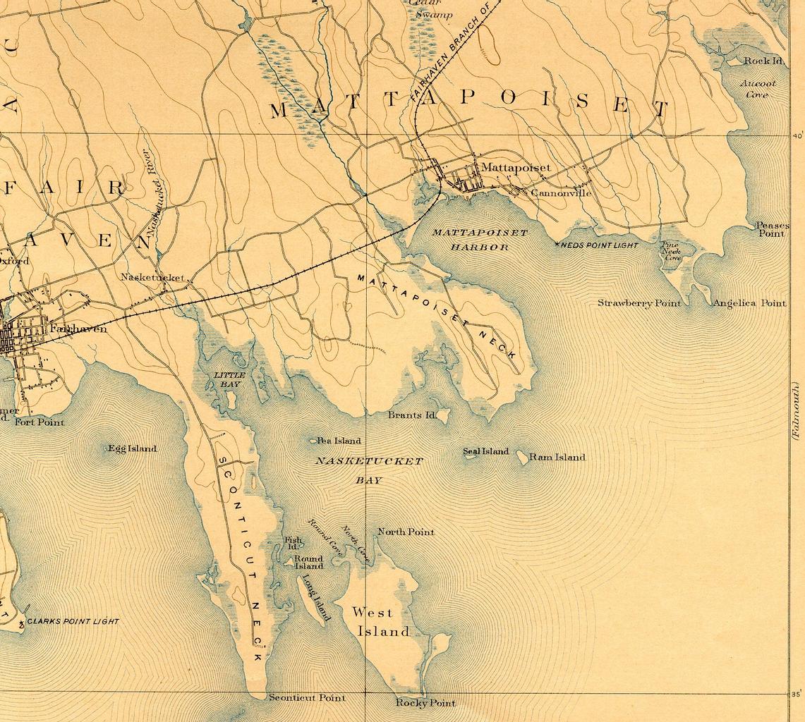
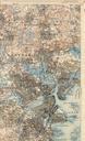
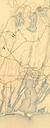
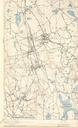
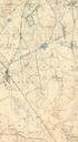
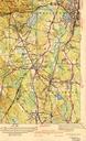
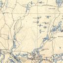
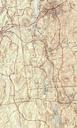
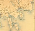
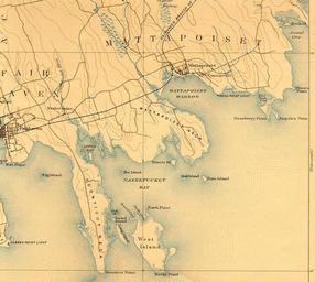
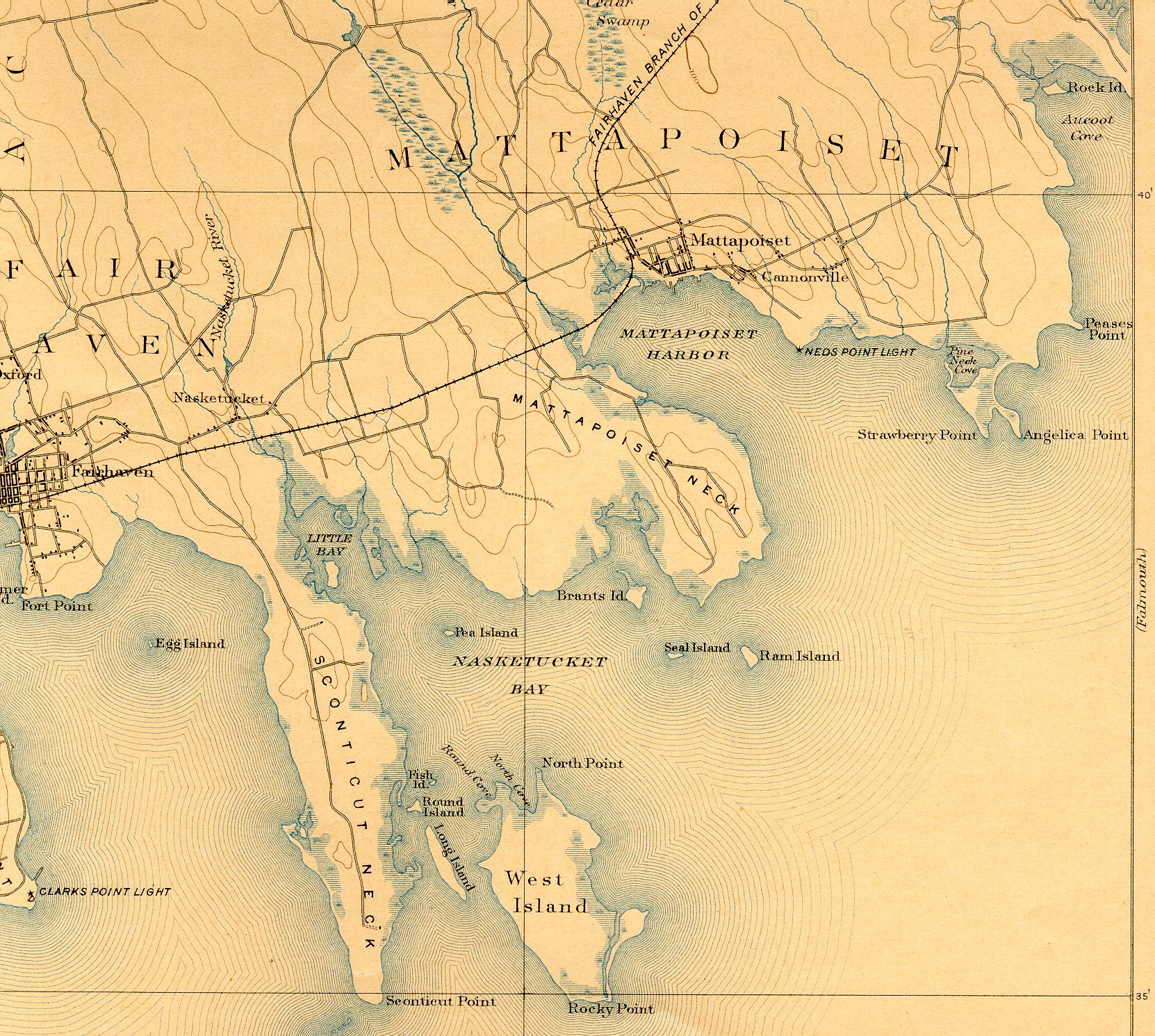
Nasketucket River USGS map . Map showing Nasketucket River and vicinity near Fairhaven Massachusetts United States Geographic Survey USGS publication This is cropped image to highlight the Nasketucket River area United States Geographic Survey USGS US Department of the Interior Public domain original work of the US Federal Government