Related Images


Download:
| Tiny | 96x128 | View | Download |
| Small | 192x256 | View | Download |
| Medium | 384x512 | View | Download |
| Large | 768x1024 | View | Download |
| Original | 3753x5000 | View | Download |
This image was acquired from
wikimedia. It was marked as Public Domain or CC0 and is free to use. To verify, go to the source and check the information there.
Looking for more info about this image?
Try a Google Reverse Image Search for it.
Try a Google Reverse Image Search for it.
Keywords from Image Description:
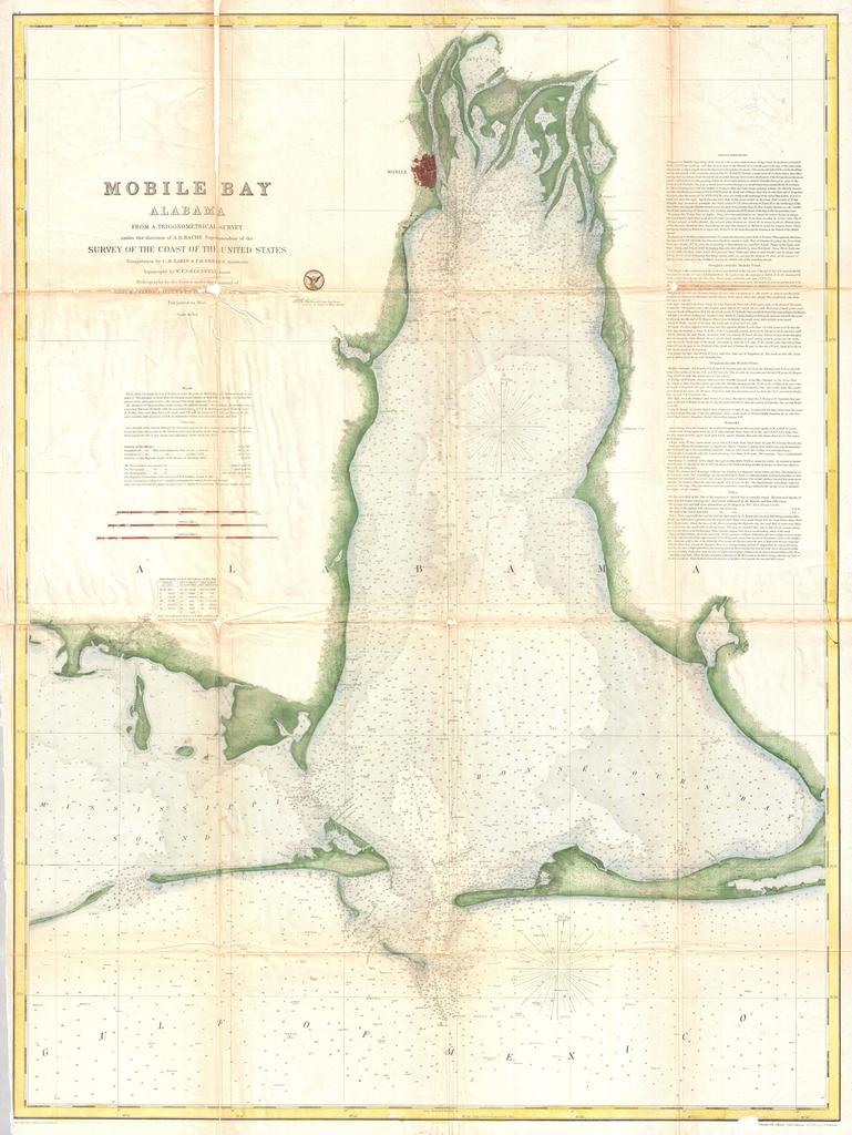
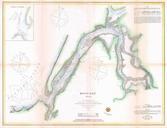
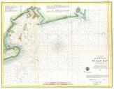
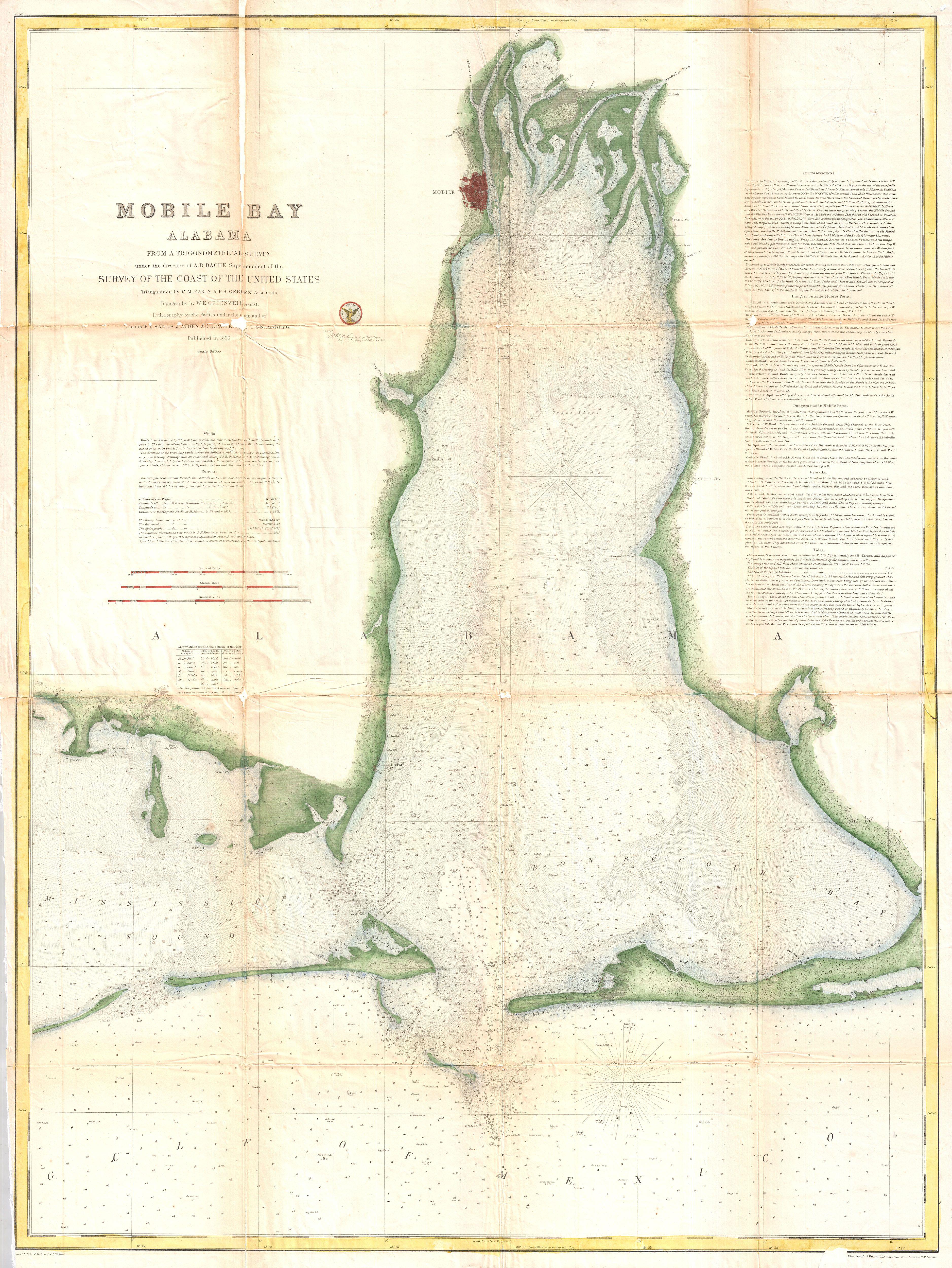
U.S. Coast Survey Map of Mobile Bay Alabama Geographicus MobileBayuscs. This is an uncommon Coast Survey Chart or Map of Mobile Bay Alabama Covers from Grand Bay and the mouths of the Alabama and Apalachee Rivers south to Mobile Point Dauphine Island and the Sand Island Bank Also extends westward into the Mississippi Sound to