
Related Images


Download:
| Tiny | 144x128 | View | Download |
| Small | 289x256 | View | Download |
| Medium | 579x512 | View | Download |
| Large | 1159x1024 | View | Download |
| Original | 5000x4416 | View | Download |
This image was acquired from
wikimedia. It was marked as Public Domain or CC0 and is free to use. To verify, go to the source and check the information there.
Looking for more info about this image?
Try a Google Reverse Image Search for it.
Try a Google Reverse Image Search for it.
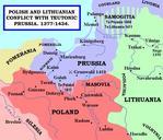
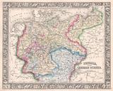
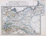
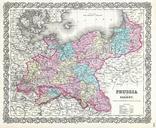
Keywords from Image Description:
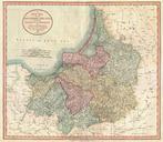
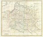
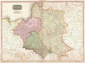
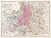
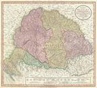
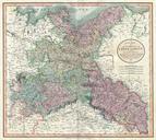
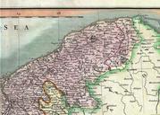
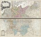
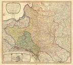
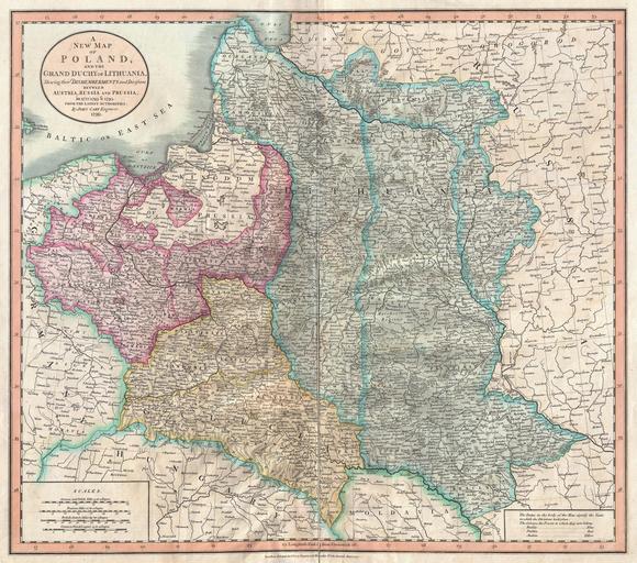
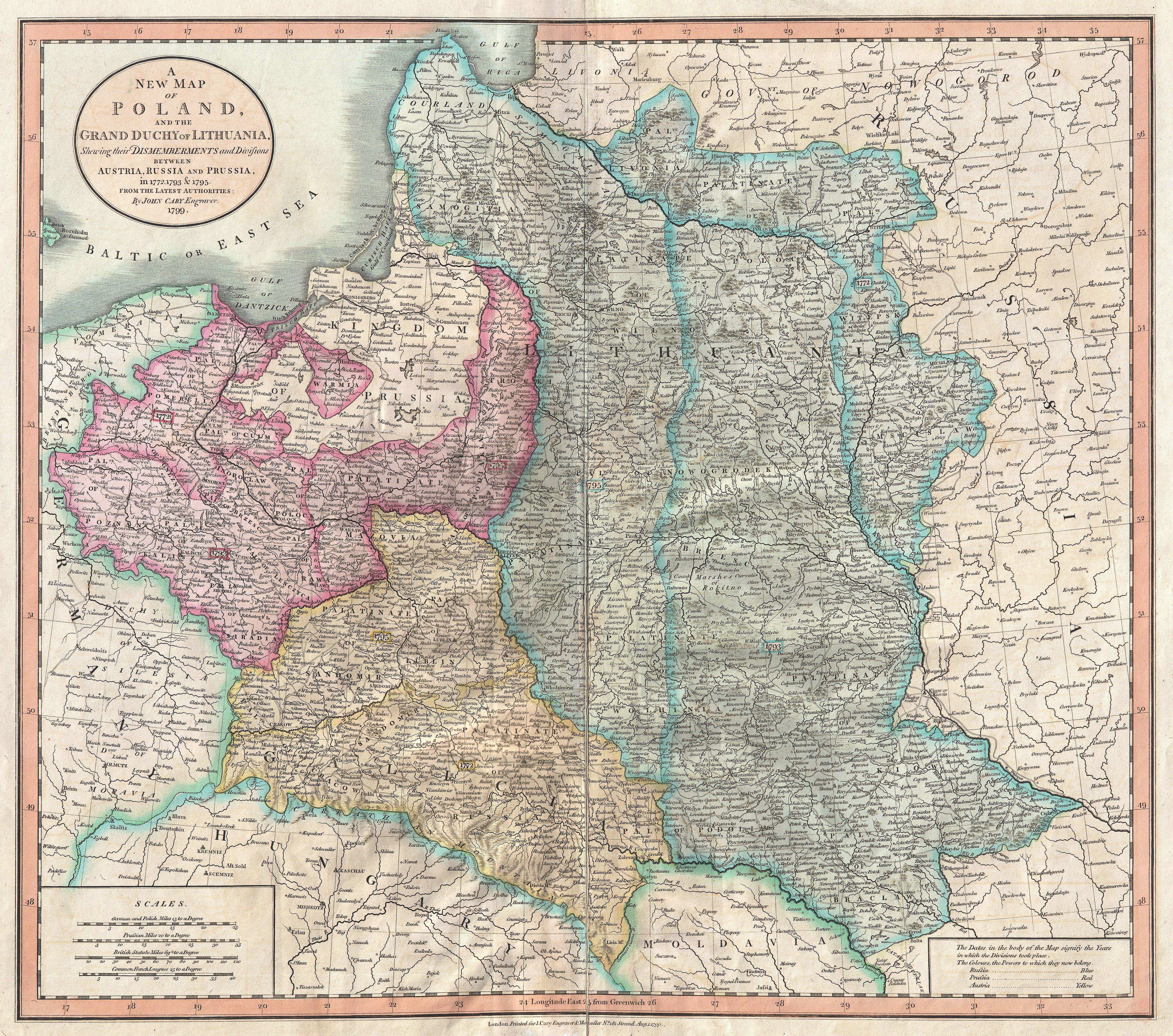
Cary Map of Poland Prussia and Lithuania Geographicus Polandcary. nice example of John Cary rare map of Poland Covers the entire block of territory claimed by the PolishLithuanian Commonwealth Rzeczpospolita from the Baltic Sea south to Hungary and eastward as far as Russia This map is designed to illustrate the partitioning