
Related Images


Download:
| Tiny | 86x128 | View | Download |
| Small | 173x256 | View | Download |
| Medium | 347x512 | View | Download |
| Original gif | 424x625 | View | Download |
| Original as jpg | 424x625 | View | Download |
This image was acquired from
wikimedia. It was marked as Public Domain or CC0 and is free to use. To verify, go to the source and check the information there.
Looking for more info about this image?
Try a Google Reverse Image Search for it.
Try a Google Reverse Image Search for it.
Keywords from Image Description:
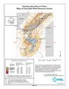
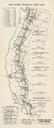
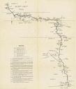
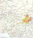
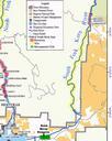
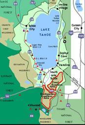
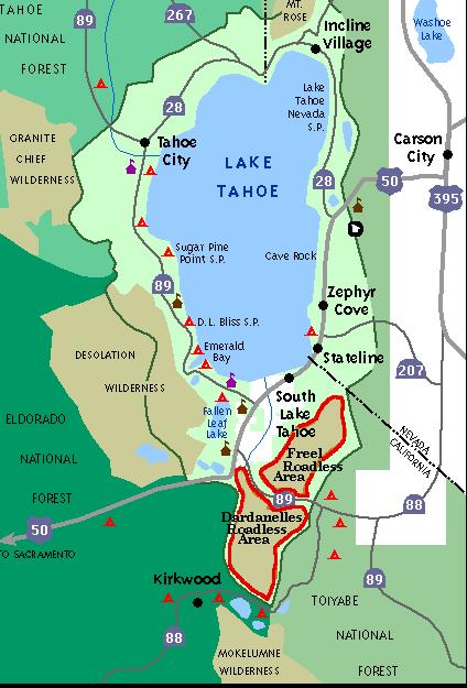
Map roadless areas Lake Tahoe. US Forest Service map of roadless areas south of Lake Tahoe CA USA tahoesbest htm unk USFS Information presented on this WWW page is considered public information and is provided as public service by the USDA Forest Service URL tahoesbest htm PDUSGov Lake Tahoe USDA Forest Service