
Related Images


Download:
| Tiny | 61x128 | View | Download |
| Small | 123x256 | View | Download |
| Medium | 247x512 | View | Download |
| Large | 494x1024 | View | Download |
| Original tiff | 4343x9000 | View | Download |
| Original as jpg | 4343x9000 | View | Download |
This image was acquired from
wikimedia. It was marked as Public Domain or CC0 and is free to use. To verify, go to the source and check the information there.
Looking for more info about this image?
Try a Google Reverse Image Search for it.
Try a Google Reverse Image Search for it.
Keywords from Image Description:
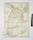
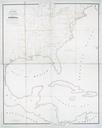
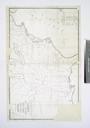
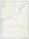
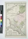
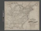
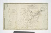
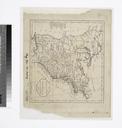
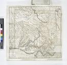
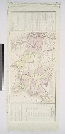
Map of the United States showing the treaty lines between and with other countries NYPL b. en Prepared for the President of the United States under the direction of the Commissioner of the General Land Office November nd Includes tables showing the areas of the several states and territories of the United States in square miles