
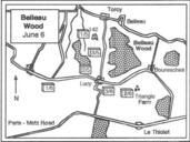
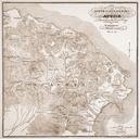
Related Images


Download:
| Tiny | 123x128 | View | Download |
| Small | 247x256 | View | Download |
| Medium | 494x512 | View | Download |
| Large | 989x1024 | View | Download |
| Original | 6850x7087 | View | Download |
This image was acquired from
wikimedia. It was marked as Public Domain or CC0 and is free to use. To verify, go to the source and check the information there.
Looking for more info about this image?
Try a Google Reverse Image Search for it.
Try a Google Reverse Image Search for it.
Keywords from Image Description:
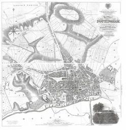
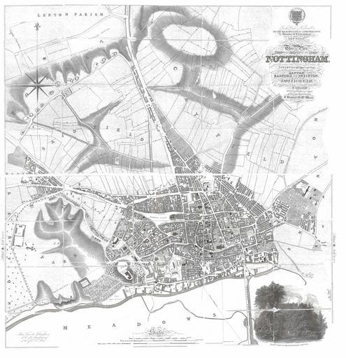
Nottingham Map by Staveley and Wood. en This Plan of the Town and County of the Town of Nottingham and of the several extra Parochial place within the Libertines of the Castle together with parts of the Parishes of Lenton Radford and Sneinton in the County of Nottingham From Surveys made in the Years is dedicated with every