
Related Images


Download:
| Tiny | 159x128 | View | Download |
| Small | 319x256 | View | Download |
| Original png | 555x445 | View | Download |
| Original as jpg | 555x445 | View | Download |
This image was acquired from
wikimedia. It was marked as Public Domain or CC0 and is free to use. To verify, go to the source and check the information there.
Looking for more info about this image?
Try a Google Reverse Image Search for it.
Try a Google Reverse Image Search for it.
Keywords from Image Description:
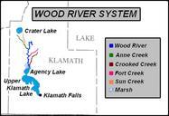
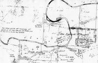
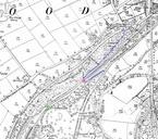
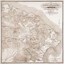
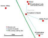
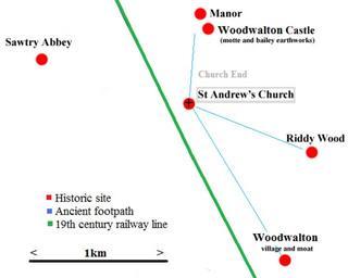
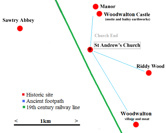
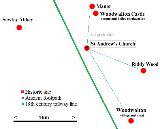
Wood Walton map. Very rough map to demonstrate the reason for the isolated position of St Andrew's Church Woodwalton note the church is in central position when seen in respect of the castle manor abbey and village own loosely based on positions indicated by Ordinance Survey map Rob en St Andrew's Church Woodwalton