
Related Images


Download:
| Tiny | 202x128 | View | Download |
| Small | 404x256 | View | Download |
| Medium | 809x512 | View | Download |
| Large | 1618x1024 | View | Download |
| Original | 3871x2449 | View | Download |
This image was acquired from
wikimedia. It was marked as Public Domain or CC0 and is free to use. To verify, go to the source and check the information there.
Looking for more info about this image?
Try a Google Reverse Image Search for it.
Try a Google Reverse Image Search for it.
Keywords from Image Description:
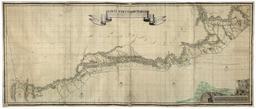
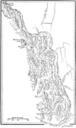
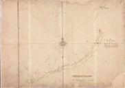
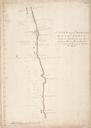
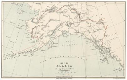
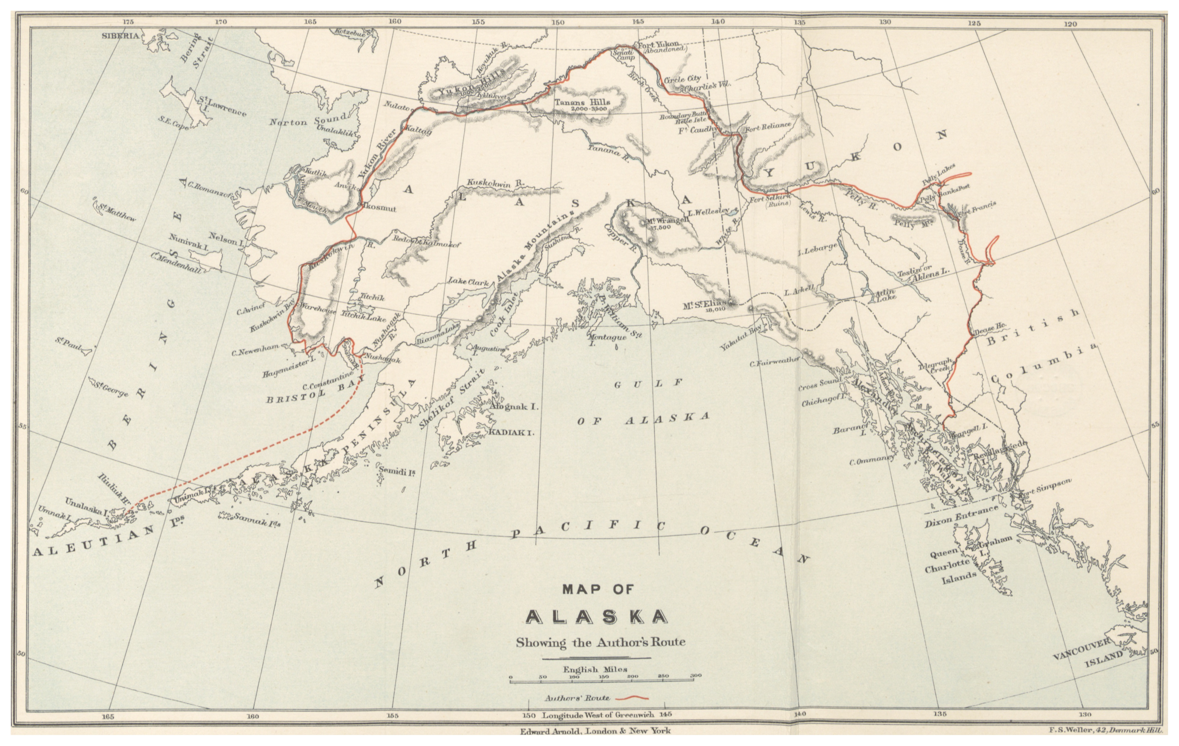
PIKE Map of Alaska showing the Author's Route. object history credit line accession number British Library HMNTS Image extracted from page of Through the Subarctic Forest record of canoe journey from Fort Wrangel to the Polly Lakes and down the Yukon River to the Behring Sea by PIKE Warburton Original held and digitised by the