
Related Images

Download:
| Tiny | 184x128 | View | Download |
| Small | 368x256 | View | Download |
| Medium | 737x512 | View | Download |
| Large | 1474x1024 | View | Download |
| Original | 5330x3702 | View | Download |
This image was acquired from
wikimedia. It was marked as Public Domain or CC0 and is free to use. To verify, go to the source and check the information there.
Looking for more info about this image?
Try a Google Reverse Image Search for it.
Try a Google Reverse Image Search for it.
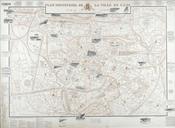
Keywords from Image Description:
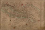
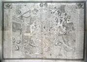
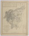
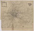
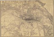
Plan topographique de la ville de Lyon et de ses environs rotated. fr plan de Lyon Eugne Rembielinski ingnieur gographe graveur et Dignoscyo ingnieur gographe Archives personnelles of User Otourly map date Lyon yes city map print date accession number other versions PDArt Uploaded with maps Laurent de Dignoscyo