
Related Images


Download:
| Tiny | 108x128 | View | Download |
| Small | 216x256 | View | Download |
| Medium | 432x512 | View | Download |
| Original | 543x643 | View | Download |
This image was acquired from
wikimedia. It was marked as Public Domain or CC0 and is free to use. To verify, go to the source and check the information there.
Looking for more info about this image?
Try a Google Reverse Image Search for it.
Try a Google Reverse Image Search for it.
Keywords from Image Description:
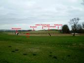
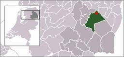
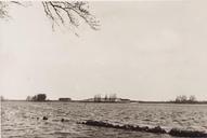
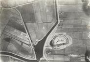
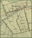
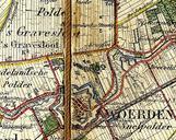
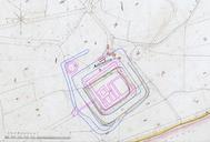
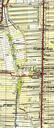
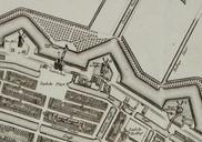
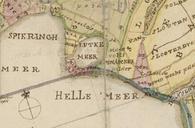
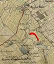
Spijkerboor Vlooiennest. Detail van de militair topografische kaart uit met Spijkerboor en 't Vlooien nest nl kysCvjpodgmhPi Watwaswaar onbekend Old maps of Drenthe PDold