
Related Images


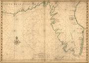
This image was acquired from
wikimedia. It was marked as Public Domain or CC0 and is free to use. To verify, go to the source and check the information there.
Looking for more info about this image?
Try a Google Reverse Image Search for it.
Try a Google Reverse Image Search for it.
Keywords from Image Description:
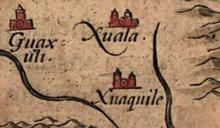
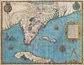
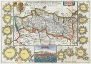
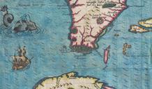
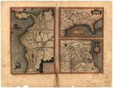
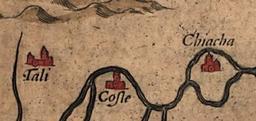
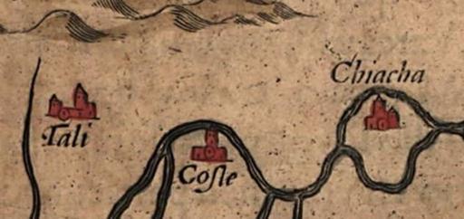
Talicostechiahachiavessp. map of La Florida The map was drawn by Spanish royal cartographer Geronimo Chiaves and was probably based on accounts by members of the Hernando de Soto expedition The map was originally published in Abraham Ortelius' Theatrum Orbis Terrarum in Chiaha is believed to have been located on what was later