
Related Images


Download:
| Tiny | 133x128 | View | Download |
| Small | 267x256 | View | Download |
| Medium | 534x512 | View | Download |
| Original png | 1069x1024 | View | Download |
| Original as jpg | 1069x1024 | View | Download |
This image was acquired from
wikimedia. It was marked as Public Domain or CC0 and is free to use. To verify, go to the source and check the information there.
Looking for more info about this image?
Try a Google Reverse Image Search for it.
Try a Google Reverse Image Search for it.
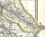
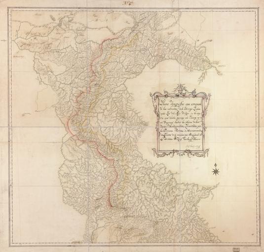
Keywords from Image Description:
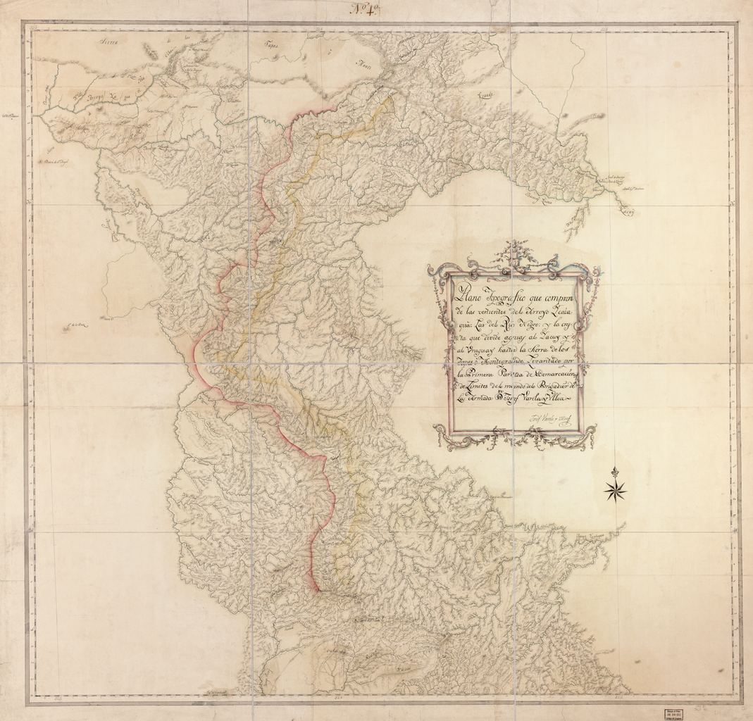
Topographical Map that Includes the Tributary of the Ycabaqua River of the Negro River and the Crest that Divides Waters of the Yacuy and Uruguay until the Mountain Range of Tapes or Montegrande WDL. Artwork ru fr Varela Ulloa Jose en Varela Ulloa Jos zh pt Varela Ulloa Jos ar es Varela Ulloa Jos ru fr