
Related Images


Download:
| Tiny | 293x128 | View | Download |
| Small | 587x256 | View | Download |
| Medium | 1174x512 | View | Download |
| Original | 1365x595 | View | Download |
This image was acquired from
wikimedia. It was marked as Public Domain or CC0 and is free to use. To verify, go to the source and check the information there.
Looking for more info about this image?
Try a Google Reverse Image Search for it.
Try a Google Reverse Image Search for it.
Keywords from Image Description:
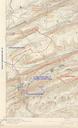
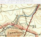
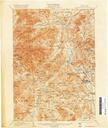
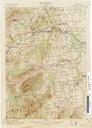
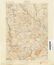
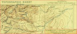
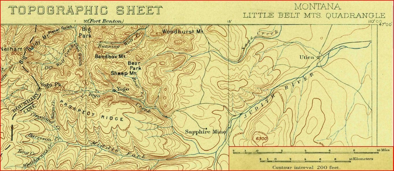
USGS Topo of Little Belt Mts wscale. en NE portion of Little Belt Mountain Topographic Map showing Yogo sapphire mine location Modified from USGS Topographic map Little Belt Mountains Quadrangle US Geological Survey PDUSGov Uploaded with Yogo mine and sapphires