
Related Images


Download:
| Tiny | 242x128 | View | Download |
| Small | 484x256 | View | Download |
| Medium | 969x512 | View | Download |
| Original png | 1676x885 | View | Download |
| Original as jpg | 1676x885 | View | Download |
This image was acquired from
wikimedia. It was marked as Public Domain or CC0 and is free to use. To verify, go to the source and check the information there.
Looking for more info about this image?
Try a Google Reverse Image Search for it.
Try a Google Reverse Image Search for it.
Keywords from Image Description:
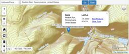
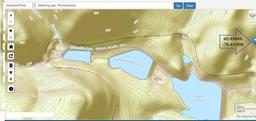
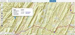
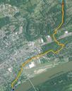
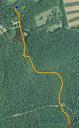
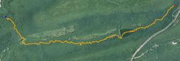
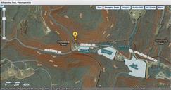
USGS National Map viewer showing Kittanning Run Pennsylvania location near AltoonaMIxed Mode topoSat. Kittanning Run Pennsylvania one creek among several creating the gaps in the Allegheny that is in the Allegheny Front The bubble location shown is along the westbound railroad between Altoona Pennsylvania Altoona the tunnels at