
Related Images


Download:
| Tiny | 176x128 | View | Download |
| Small | 352x256 | View | Download |
| Medium | 704x512 | View | Download |
| Large | 1408x1024 | View | Download |
| Original | 16040x11665 | View | Download |
This image was acquired from
wikimedia. It was marked as Public Domain or CC0 and is free to use. To verify, go to the source and check the information there.
Looking for more info about this image?
Try a Google Reverse Image Search for it.
Try a Google Reverse Image Search for it.
Keywords from Image Description:
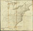
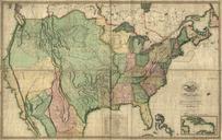
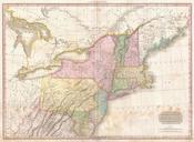
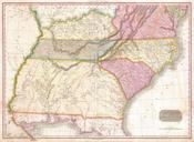
USPostRoadMap. LargeImage en Map of the United States exhibiting the postroads the situations connexions distances of the postoffices stage roads counties principal rivers Scale ca th ed Philadelphia Made and sold by Caldcleugh and Thomas Relief shown pictorially Also shows townships in parts of Maine New York and Indiana Territory