Related Images


Download:
| Tiny | 170x128 | View | Download |
| Small | 341x256 | View | Download |
| Medium | 682x512 | View | Download |
| Original | 800x600 | View | Download |
This image was acquired from
wikimedia. It was marked as Public Domain or CC0 and is free to use. To verify, go to the source and check the information there.
Looking for more info about this image?
Try a Google Reverse Image Search for it.
Try a Google Reverse Image Search for it.
Keywords from Image Description:
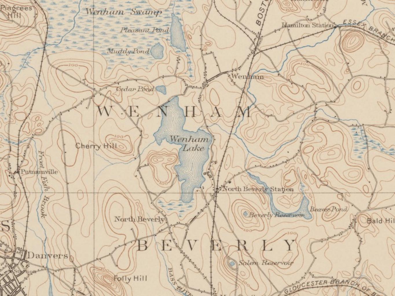
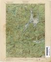
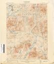
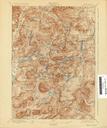
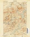
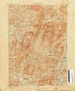
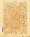
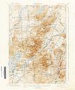
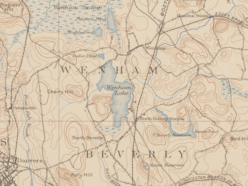
Wenham Lake USGS Map December . Wenham Lake Wenham Massachusetts USA USGS map from showing development at that time including railroads for transporting Wenham ice United States Geological Survey USGS map dated December United States Geological Survey USGS Original work of the US Federal Government public domain PDUSGov Wenham