
Related Images

Download:
| Tiny | 99x128 | View | Download |
| Small | 199x256 | View | Download |
| Medium | 398x512 | View | Download |
| Original | 416x534 | View | Download |
This image was acquired from
wikimedia. It was marked as Public Domain or CC0 and is free to use. To verify, go to the source and check the information there.
Looking for more info about this image?
Try a Google Reverse Image Search for it.
Try a Google Reverse Image Search for it.
Keywords from Image Description:
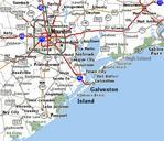
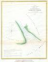
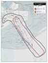
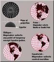
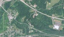
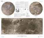
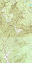
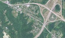
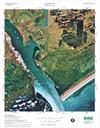
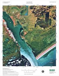
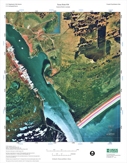
USGS map of Sabine Pass. USGS map of Sabine Pass at the border of Texas and Louisiana Uploaded by Johntex Source usgs gov html PDUSGov Geography of Louisiana Geography of Texas Maps of Louisiana Maps of Texas Sabine Pass outlet of Sabine Lake