Related Images


Download:
| Tiny | 160x128 | View | Download |
| Small | 320x256 | View | Download |
| Medium | 640x512 | View | Download |
| Large | 1280x1024 | View | Download |
| Original | 4000x3199 | View | Download |
This image was acquired from
wikimedia. It was marked as Public Domain or CC0 and is free to use. To verify, go to the source and check the information there.
Looking for more info about this image?
Try a Google Reverse Image Search for it.
Try a Google Reverse Image Search for it.
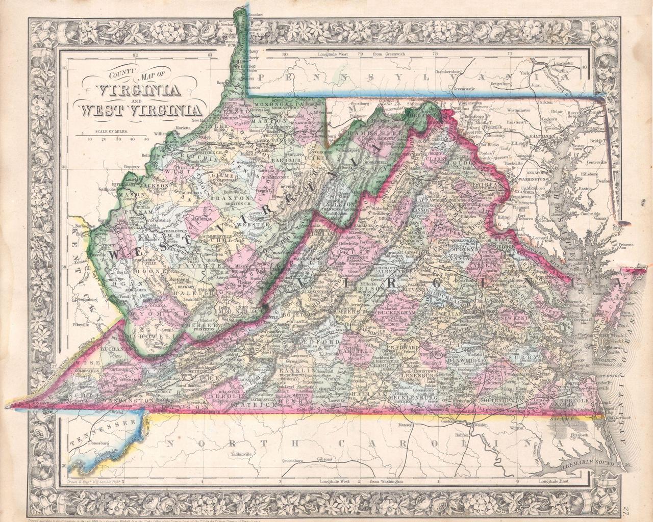
Keywords from Image Description:
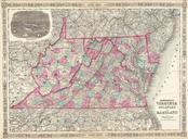
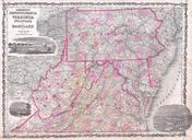
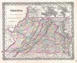
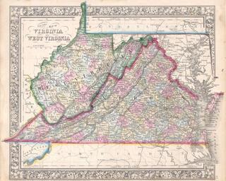
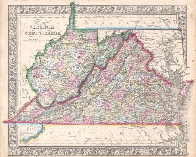
Mitchell Map of Virginia West Virginia and Maryland Geographicus VAWVmitchell. beautiful example of Mitchell Jr map of Virginia West Virginia and Maryland This map was revised version of Mitchells map of the same region to accommodate for the separation of Virginia and West Virginia in Includes the full Chesapeake Bay from Cape