Related Images


Download:
| Tiny | 318x128 | View | Download |
| Small | 637x256 | View | Download |
| Medium | 1274x512 | View | Download |
| Large | 2549x1024 | View | Download |
| Original | 6000x2410 | View | Download |
This image was acquired from
wikimedia. It was marked as Public Domain or CC0 and is free to use. To verify, go to the source and check the information there.
Looking for more info about this image?
Try a Google Reverse Image Search for it.
Try a Google Reverse Image Search for it.
Keywords from Image Description:
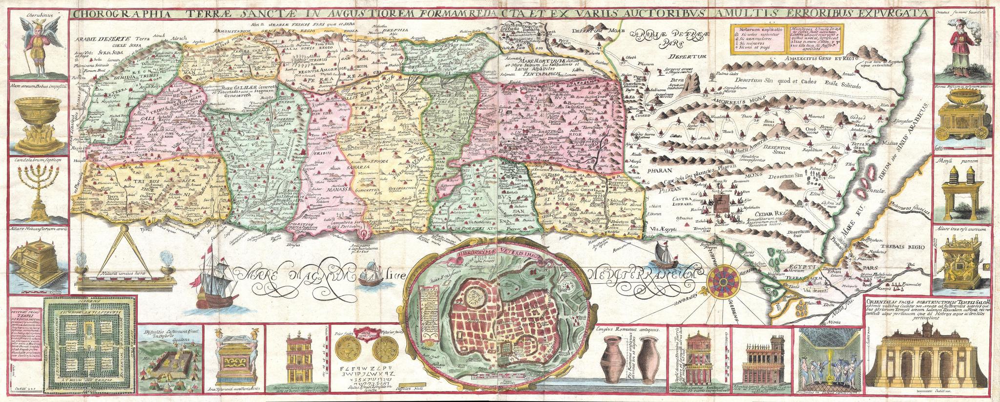
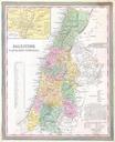
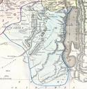
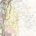
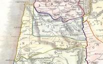
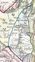
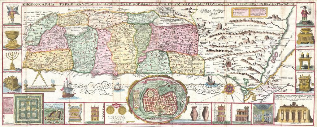
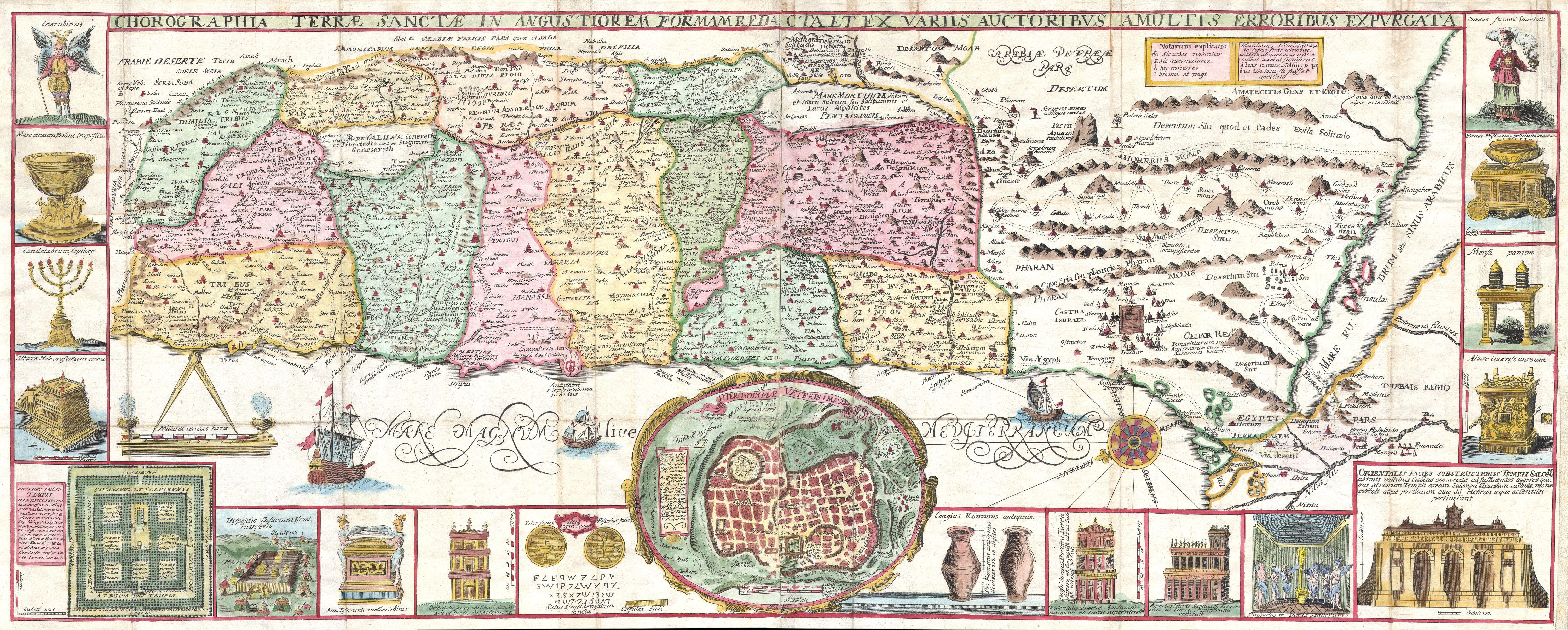
Tirinus Map of the Holy Land Israel numerous insets Geographicus HolyLandtirinus. This is an extraordinary map of the Holy Land by the Jesuit monk Jacobus Tirinus Oriented to the east map depicts from Syria and Tyre southward as far as the Sinai Egypt and Thebes Ours survey of the map begins at the southern most point in Egypt