
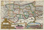
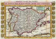
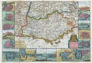
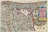
Related Images

Download:
| Tiny | 168x128 | View | Download |
| Small | 337x256 | View | Download |
| Medium | 675x512 | View | Download |
| Large | 1350x1024 | View | Download |
| Original | 2000x1517 | View | Download |
This image was acquired from
wikimedia. It was marked as Public Domain or CC0 and is free to use. To verify, go to the source and check the information there.
Looking for more info about this image?
Try a Google Reverse Image Search for it.
Try a Google Reverse Image Search for it.
Keywords from Image Description:
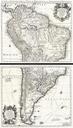
La Feuille Map of South America Geographicus SouthAmericaratelband. stunning map of South America first drawn by Daniel de la Feuille in Continent is represented according to the th century political geography Labels several important cities including Cusco Quito Lima San Sebastian and Cartagena Shows two large imaginary lakes