
Related Images
Download:
| Tiny | 180x128 | View | Download |
| Small | 360x256 | View | Download |
| Medium | 720x512 | View | Download |
| Large | 1441x1024 | View | Download |
| Original | 2500x1776 | View | Download |
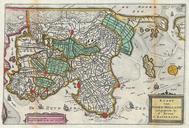
This image was acquired from
wikimedia. It was marked as Public Domain or CC0 and is free to use. To verify, go to the source and check the information there.
Looking for more info about this image?
Try a Google Reverse Image Search for it.
Try a Google Reverse Image Search for it.
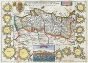
Keywords from Image Description:
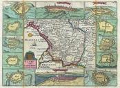
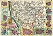
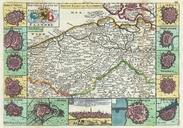
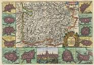
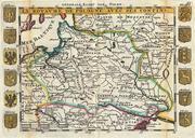
La Feuille Map of Poland Geographicus Pologneratelband. stunning map of Poland first drawn by Daniel de la Feuille in Covers the entire territory of Poland as well as parts of Latvia Prussia Hungary Transylvania Moldova and Russia Flanked on either side by the twelve armorial crests of Poland and its immediate neighbors Title