Related Images


Download:
| Tiny | 162x128 | View | Download |
| Small | 325x256 | View | Download |
| Medium | 651x512 | View | Download |
| Large | 1302x1024 | View | Download |
| Original | 2668x2097 | View | Download |
This image was acquired from
wikimedia. It was marked as Public Domain or CC0 and is free to use. To verify, go to the source and check the information there.
Looking for more info about this image?
Try a Google Reverse Image Search for it.
Try a Google Reverse Image Search for it.
Keywords from Image Description:
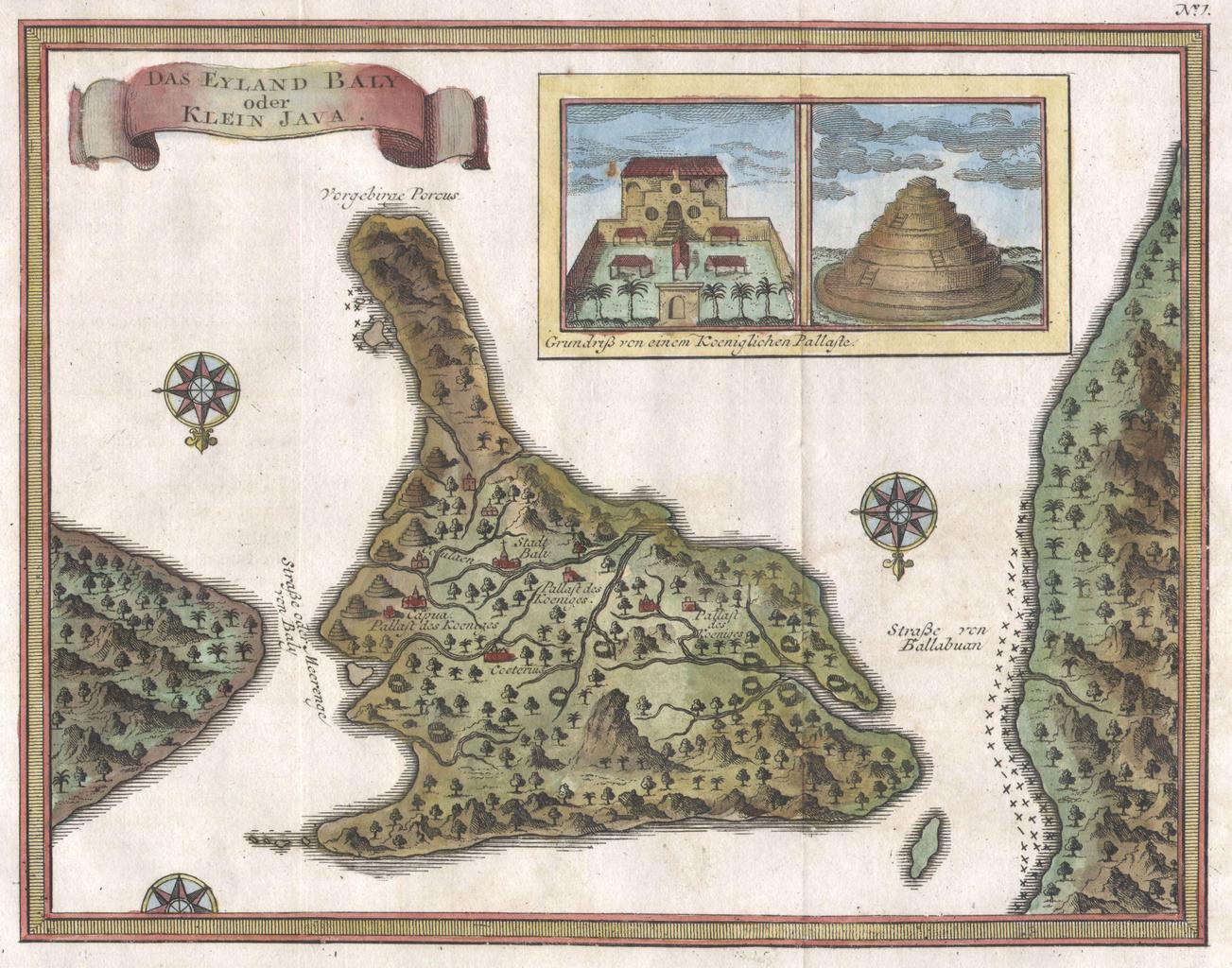
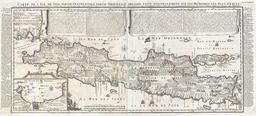
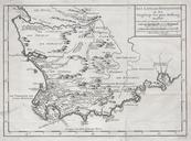
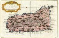
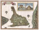
Bellin Map of Bali Indonesia Geographicus Balibellin. An extremely attractive little map of Bali Indonesia by French cartographer Nicholas Bellin Depicts the island oriented to the south Offers wonderful detail of the inland rivers and villages Upper right quadrant features an inset of the Royal Palace and Balinese temple Two