
Related Images


Download:
| Tiny | 188x128 | View | Download |
| Small | 377x256 | View | Download |
| Medium | 754x512 | View | Download |
| Large | 1509x1024 | View | Download |
| Original | 3783x2567 | View | Download |
This image was acquired from
wikimedia. It was marked as Public Domain or CC0 and is free to use. To verify, go to the source and check the information there.
Looking for more info about this image?
Try a Google Reverse Image Search for it.
Try a Google Reverse Image Search for it.
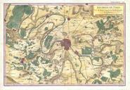
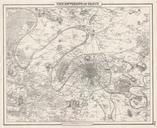
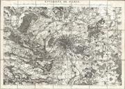
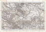
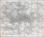
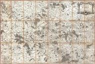
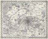
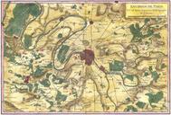
Keywords from Image Description:
Bonne Map of the Environs of Paris France Geographicus Parisbonne . rare and beautifully hand colored Bonne map of Paris and its environs Covers from Poissy in the northwest to Ferolles in the southeast and from Chateaufort in the southwest to Gonnesse in the northeast Depicts roads gardens forests churches and estates surrounding