
Related Images


Download:
| Tiny | 186x128 | View | Download |
| Small | 372x256 | View | Download |
| Medium | 744x512 | View | Download |
| Large | 1489x1024 | View | Download |
| Original | 2500x1719 | View | Download |
This image was acquired from
wikimedia. It was marked as Public Domain or CC0 and is free to use. To verify, go to the source and check the information there.
Looking for more info about this image?
Try a Google Reverse Image Search for it.
Try a Google Reverse Image Search for it.
Keywords from Image Description:
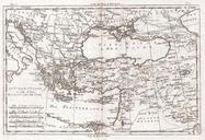
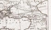
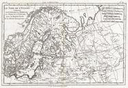
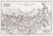
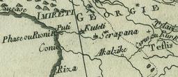
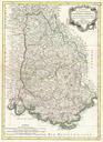
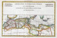
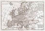
Raynal and Bonne Map of Europe Geographicus Europebonne. fine example of Rigobert Bonne and Guillaume Raynal map of Europe Covers from Spain to teh Caspiean Sea and from Iceland to North Africa Highly detailed showing towns rivers some topographical features and political boundaries Drawn by Bonne for Raynal Atlas de Toutes les