
Related Images

Download:
| Tiny | 84x128 | View | Download |
| Small | 169x256 | View | Download |
| Medium | 339x512 | View | Download |
| Large | 678x1024 | View | Download |
| Original | 1657x2500 | View | Download |
This image was acquired from
wikimedia. It was marked as Public Domain or CC0 and is free to use. To verify, go to the source and check the information there.
Looking for more info about this image?
Try a Google Reverse Image Search for it.
Try a Google Reverse Image Search for it.
Keywords from Image Description:
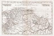
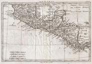
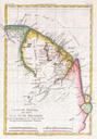
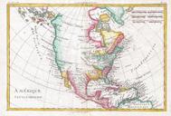
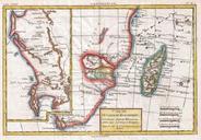
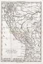
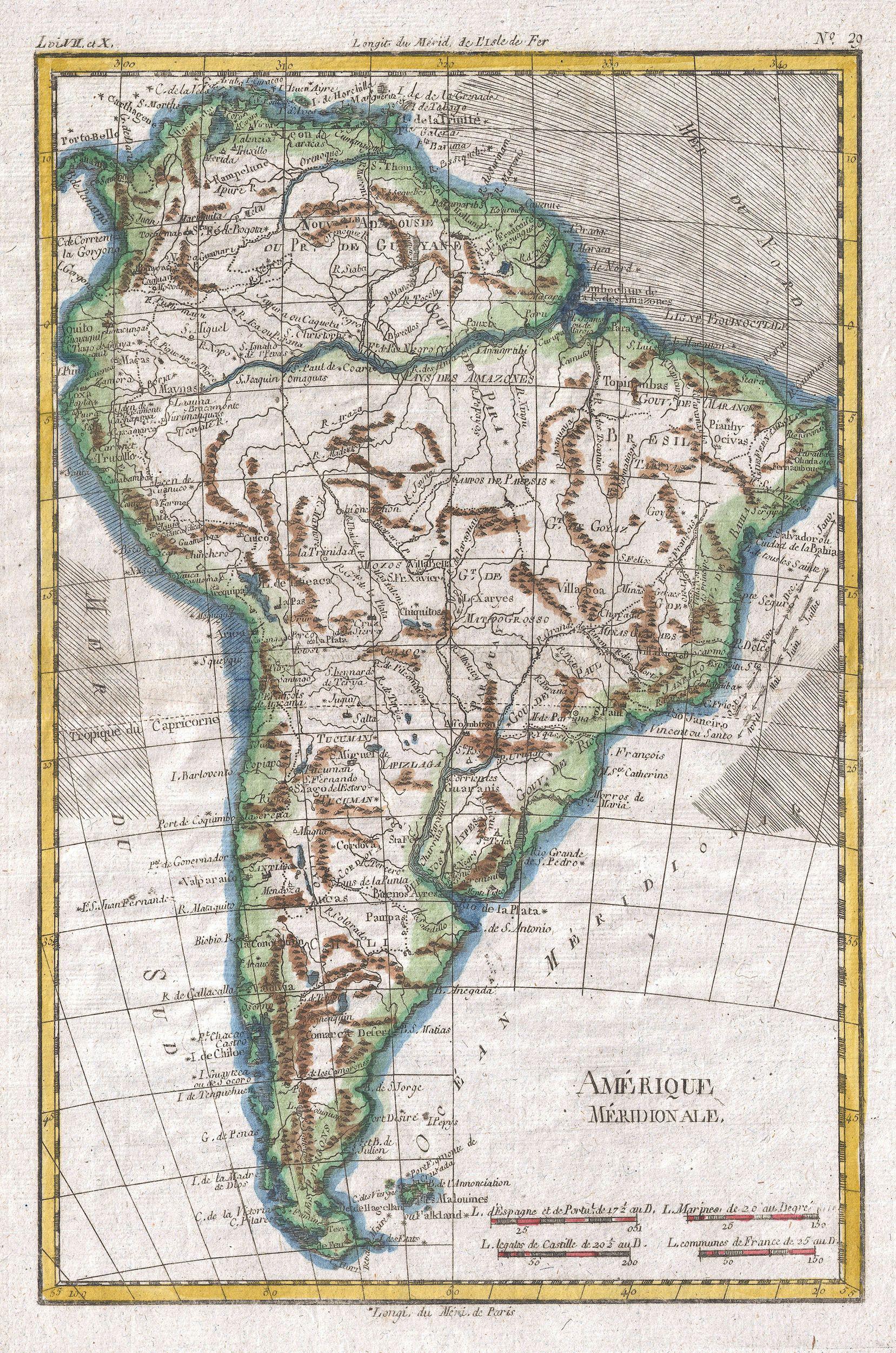
Raynal and Bonne Map of South America Geographicus AmeriqueMeridionalebonne. fine example of Rigobert Bonne and Guillaume Raynal map of South America Highly detailed showing towns rivers some topographical features and political boundaries Names number of speculative inland features including the Laguna de Xarayes almost dead