Related Images


Download:
| Tiny | 86x128 | View | Download |
| Small | 173x256 | View | Download |
| Medium | 347x512 | View | Download |
| Large | 695x1024 | View | Download |
| Original | 1698x2500 | View | Download |
This image was acquired from
wikimedia. It was marked as Public Domain or CC0 and is free to use. To verify, go to the source and check the information there.
Looking for more info about this image?
Try a Google Reverse Image Search for it.
Try a Google Reverse Image Search for it.
Keywords from Image Description:
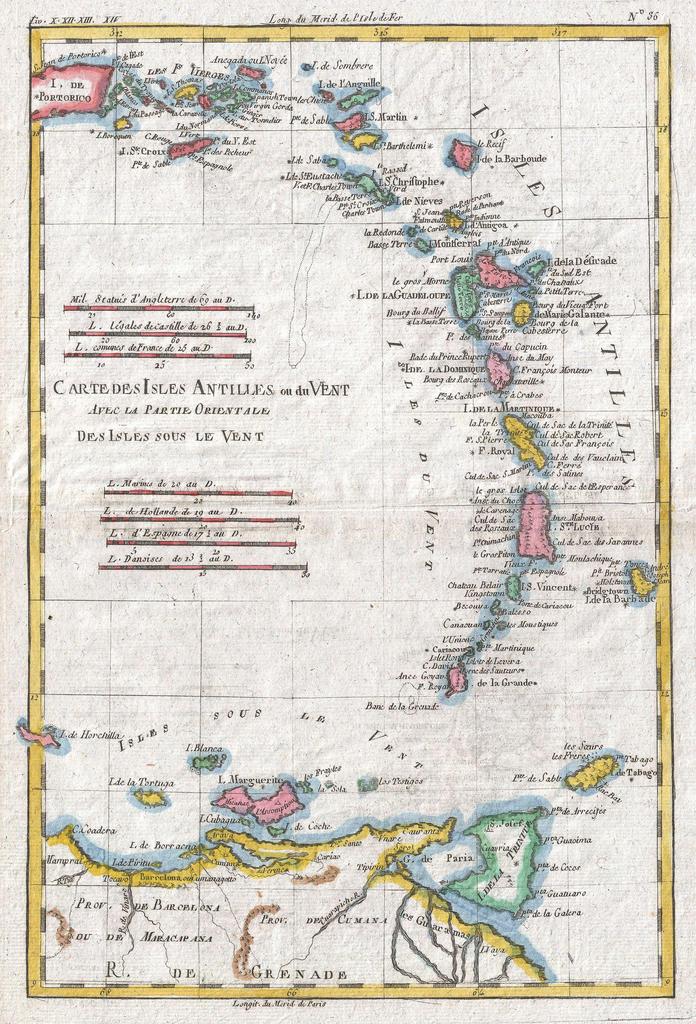
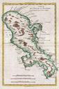
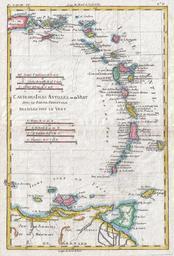
Raynal and Bonne Map of Antilles Islands Geographicus IslesAntillesbonne. fine example of Rigobert Bonne and Guillaume Raynal map of the Lesser Antilles West Indies Covers the entire chain from Porto Rico to Trinidad along with parts of the Spanish Main Includes Porto Rico St Croix Barbados St Lucia St martin Guadeloupe St Christopher