Related Images


Download:
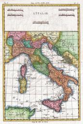
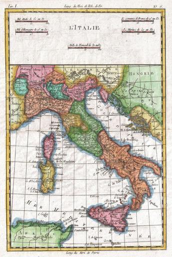
| Tiny | 86x128 | View | Download |
| Small | 172x256 | View | Download |
| Medium | 344x512 | View | Download |
| Large | 688x1024 | View | Download |
| Original | 1682x2500 | View | Download |
This image was acquired from
wikimedia. It was marked as Public Domain or CC0 and is free to use. To verify, go to the source and check the information there.
Looking for more info about this image?
Try a Google Reverse Image Search for it.
Try a Google Reverse Image Search for it.
Keywords from Image Description:
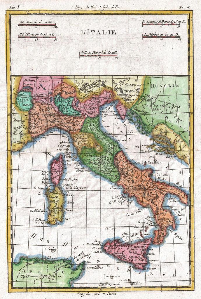
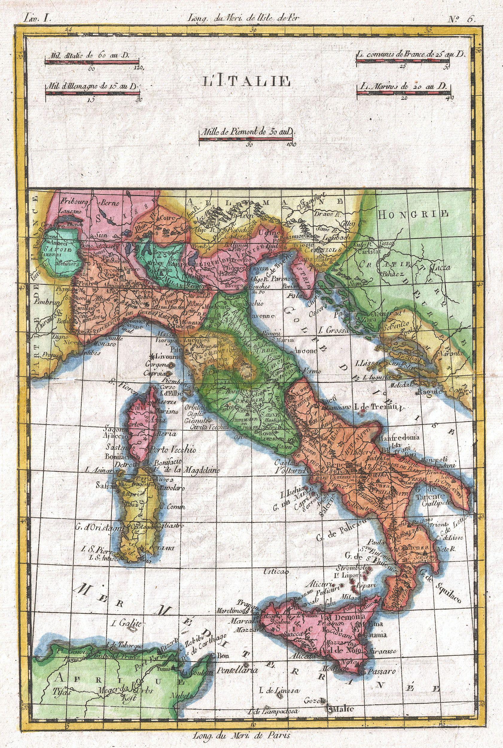
Raynal and Bonne Map of Italy Geographicus Italiebonne. fine example of Rigobert Bonne and Guilleme Raynal map of Italy Shows towns rivers some topographical features political boundaries and important roadways Includes the entire peninsula and Sicily as well as the adjacent areas of Corsica Sardinia Northern Africa Hungary Austria