Download:
| Tiny | 186x128 | View | Download |
| Small | 373x256 | View | Download |
| Medium | 747x512 | View | Download |
| Large | 1495x1024 | View | Download |
| Original | 2500x1712 | View | Download |
This image was acquired from
wikimedia. It was marked as Public Domain or CC0 and is free to use. To verify, go to the source and check the information there.
Looking for more info about this image?
Try a Google Reverse Image Search for it.
Try a Google Reverse Image Search for it.
Keywords from Image Description:
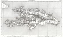
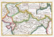
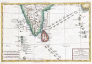
Raynal and Bonne Map of Hispaniola West Indies Geographicus StDominguebonne. fine example of Rigobert Bonne and Guilleme Raynal map of Hispaniola or Santo Domingo modern day Haiti and the Dominican Republic Includes southeast tip of Cuba the Inagua Islands southern Bahamas and Turks and Caicos Islands Highly detailed identifying

