Related Images


Download:
| Tiny | 154x128 | View | Download |
| Small | 308x256 | View | Download |
| Medium | 616x512 | View | Download |
| Large | 1232x1024 | View | Download |
| Original | 4000x3324 | View | Download |
This image was acquired from
wikimedia. It was marked as Public Domain or CC0 and is free to use. To verify, go to the source and check the information there.
Looking for more info about this image?
Try a Google Reverse Image Search for it.
Try a Google Reverse Image Search for it.
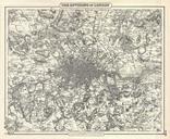
Keywords from Image Description:
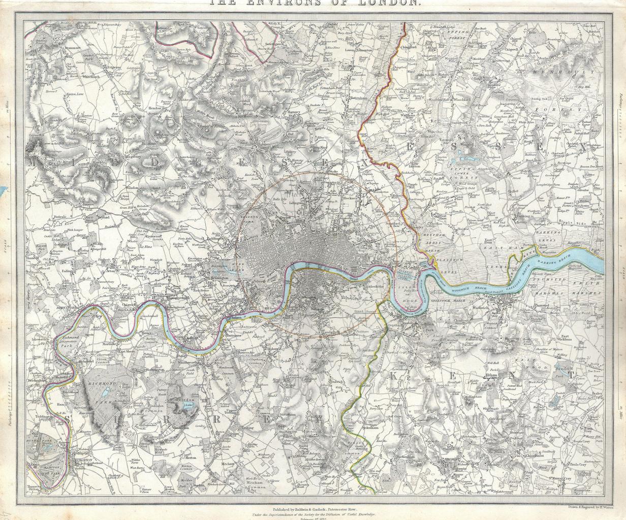
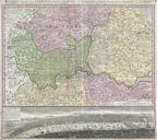
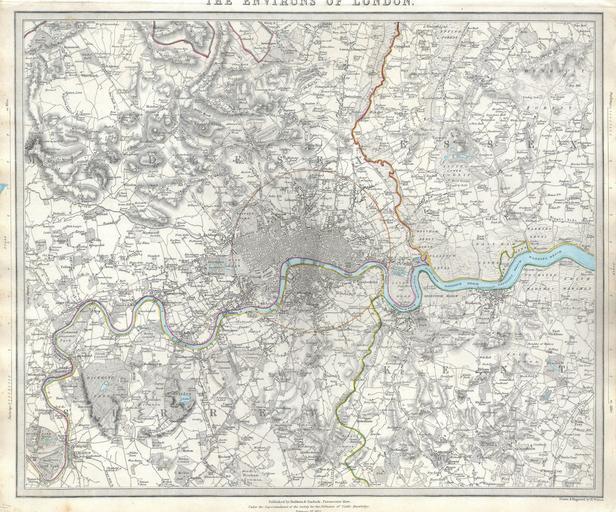
S.D.U.K. Map of London and Environs England Geographicus LondonEnvironsSDUK. difficult to find map of the vicinity of London England Depicts the London area from Kingston and Hamton Court Park in the southwest to Stanmore in the northwest Hennault Forest in the northeast and St Marys Cray and Kevingtown in the southeast red circle