
Related Images
Download:
| Tiny | 156x128 | View | Download |
| Small | 313x256 | View | Download |
| Medium | 626x512 | View | Download |
| Large | 1252x1024 | View | Download |
| Original | 6000x4904 | View | Download |
This image was acquired from
wikimedia. It was marked as Public Domain or CC0 and is free to use. To verify, go to the source and check the information there.
Looking for more info about this image?
Try a Google Reverse Image Search for it.
Try a Google Reverse Image Search for it.
Keywords from Image Description:
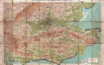
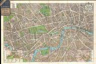
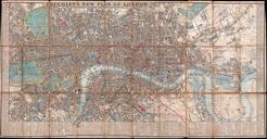
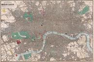
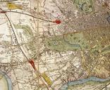
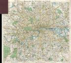
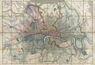
Gall and Inglis' Map of London and Environs Geographicus Londongallinglis. This is an attractive map of London England and its suburbs by Gall and Inglis Dates to around the turn of the century Map offers considerable even to the level of individual buildings Labels important towns stations parks and buildings Cycling routes