
Related Images


Download:
| Tiny | 102x128 | View | Download |
| Small | 204x256 | View | Download |
| Medium | 409x512 | View | Download |
| Large | 819x1024 | View | Download |
| Original | 4000x5000 | View | Download |
This image was acquired from
wikimedia. It was marked as Public Domain or CC0 and is free to use. To verify, go to the source and check the information there.
Looking for more info about this image?
Try a Google Reverse Image Search for it.
Try a Google Reverse Image Search for it.
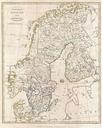
Keywords from Image Description:
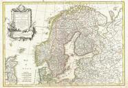
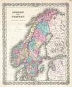
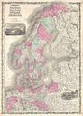
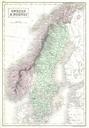
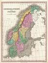
Lizars Map of Scandinavia Norway Sweden Finland Denmark Iceland Geographicus Scandinavializar. This beautiful hand colored map of Scandinavia was produced by Daniel Lizars in Depicts the whole of Scandinavia including Norway Sweden Finland and Denmark Inset of Iceland in the upper left corner One of the finest maps of Scandinavia