Related Images


Download:
| Tiny | 175x128 | View | Download |
| Small | 350x256 | View | Download |
| Medium | 701x512 | View | Download |
| Large | 1402x1024 | View | Download |
| Original | 5000x3651 | View | Download |
This image was acquired from
wikimedia. It was marked as Public Domain or CC0 and is free to use. To verify, go to the source and check the information there.
Looking for more info about this image?
Try a Google Reverse Image Search for it.
Try a Google Reverse Image Search for it.
Keywords from Image Description:
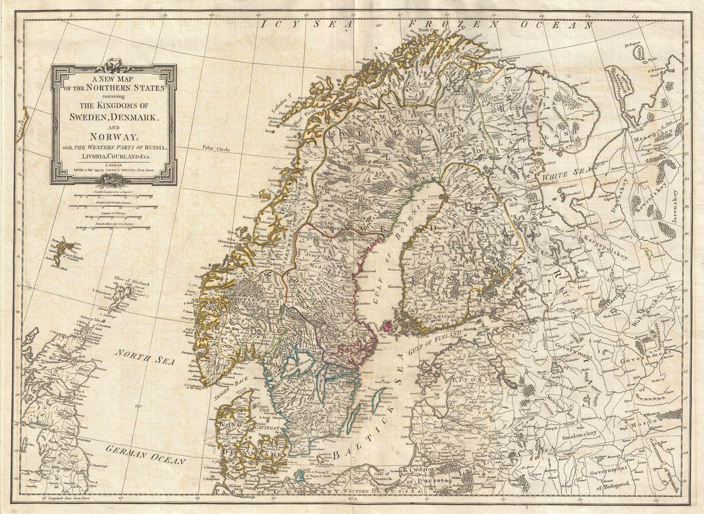
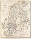
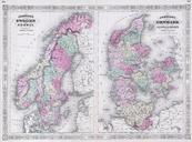
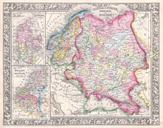
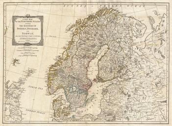
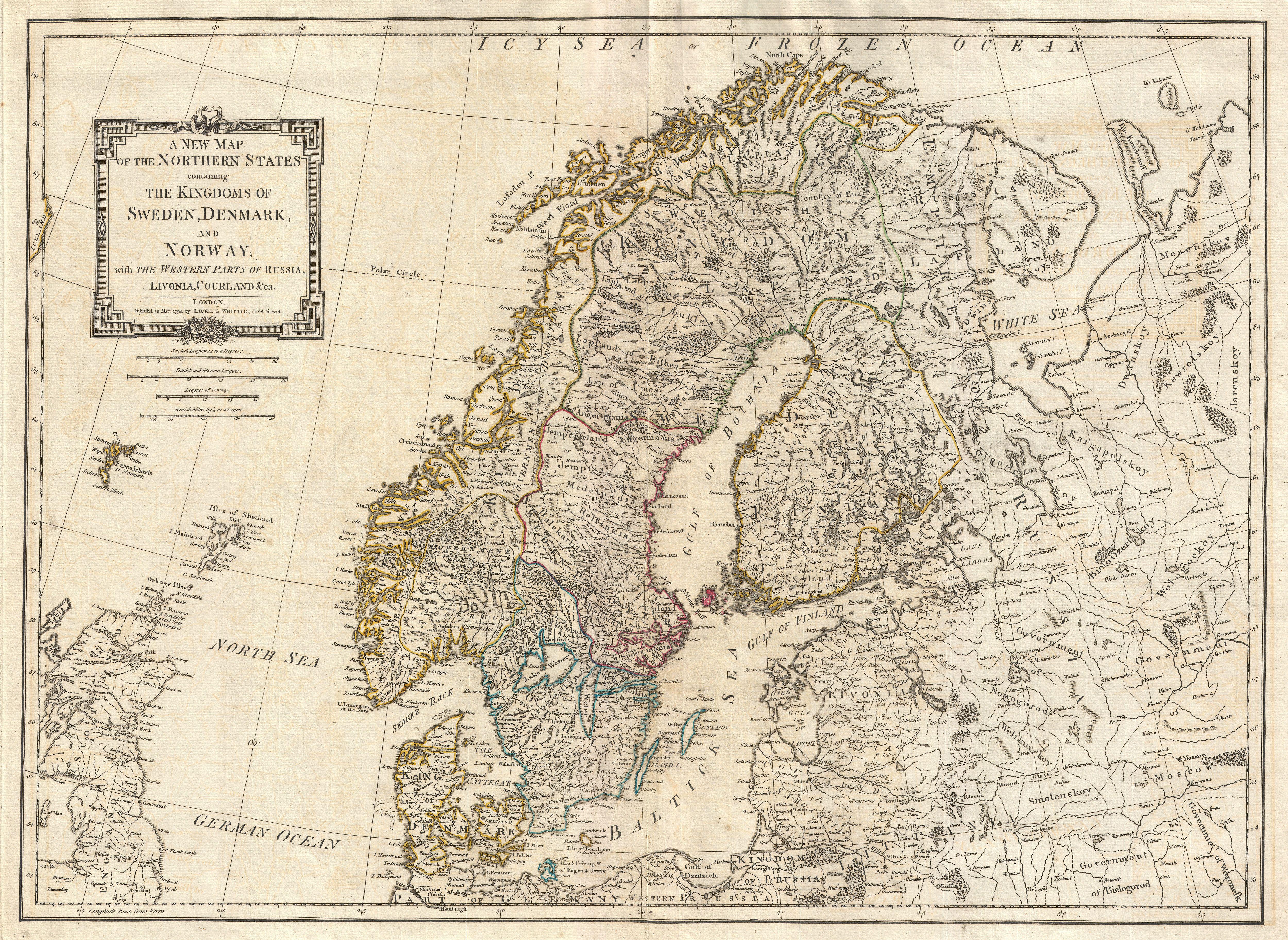
Laurie and Whittle Map of Norway Sweden Denmark and Finland Geographicus Scandinavialauriewhittle. An extraordinary map of Scandinavia by Laurie and Whittle Covers from the Faroe Islands east as far as Moscow north as far as the Arctic and south as far as Prussia Includes the modern day nations of Norway Sweden Denmark Finland