
Related Images


Download:
| Tiny | 173x128 | View | Download |
| Small | 346x256 | View | Download |
| Medium | 692x512 | View | Download |
| Large | 1384x1024 | View | Download |
| Original | 4000x2958 | View | Download |
This image was acquired from
wikimedia. It was marked as Public Domain or CC0 and is free to use. To verify, go to the source and check the information there.
Looking for more info about this image?
Try a Google Reverse Image Search for it.
Try a Google Reverse Image Search for it.
Keywords from Image Description:
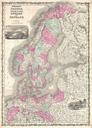
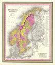
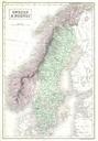
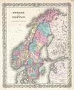
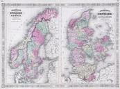
Johnson Map of Sweden Norway and Denmark Geographicus SwedenDenmarkj. This is magnificent hand colored map Scandinavia is divided into two parts The left map represents Norway and Sweden The right map depicts Denmark as well as the provinces of Sleswick Holstein Depicts the area in considerable detail including both political