Related Images

Download:
| Tiny | 167x128 | View | Download |
| Small | 334x256 | View | Download |
| Medium | 669x512 | View | Download |
| Large | 1338x1024 | View | Download |
| Original | 2500x1912 | View | Download |
This image was acquired from
wikimedia. It was marked as Public Domain or CC0 and is free to use. To verify, go to the source and check the information there.
Looking for more info about this image?
Try a Google Reverse Image Search for it.
Try a Google Reverse Image Search for it.
Keywords from Image Description:
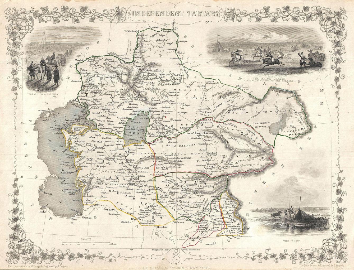
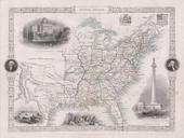
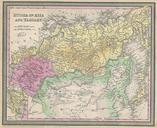
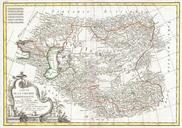
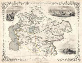
Tallis and Rapkin Map of Independent Tartary Central Asia Geographicus IndepndentTartarytallis. highly decorative map of Independent Tartary by John Tallis and John Rapkin Covers the regions between the Caspian Sea and Lake Bakquash and between Russia and Afghanistan These include the ancient Silk Route kingdoms of Khiva Tartaria