Related Images

Download:
| Tiny | 169x128 | View | Download |
| Small | 339x256 | View | Download |
| Medium | 678x512 | View | Download |
| Large | 1356x1024 | View | Download |
| Original | 4194x3167 | View | Download |
This image was acquired from
wikimedia. It was marked as Public Domain or CC0 and is free to use. To verify, go to the source and check the information there.
Looking for more info about this image?
Try a Google Reverse Image Search for it.
Try a Google Reverse Image Search for it.
Keywords from Image Description:
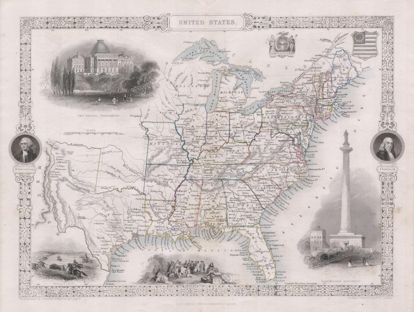
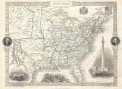
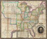
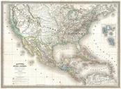
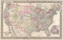
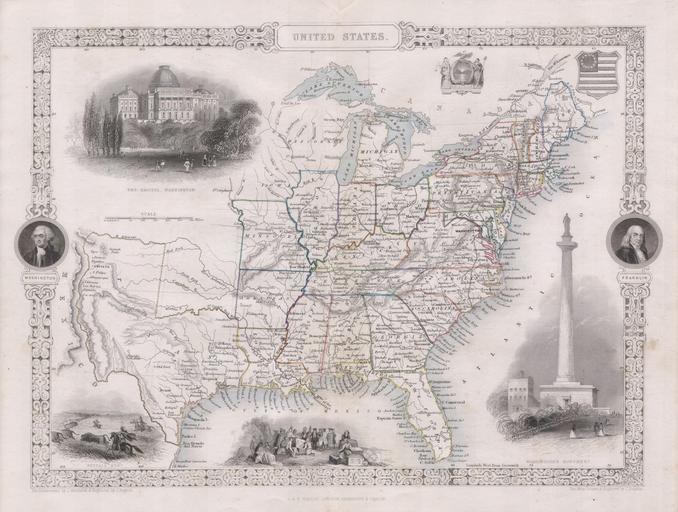
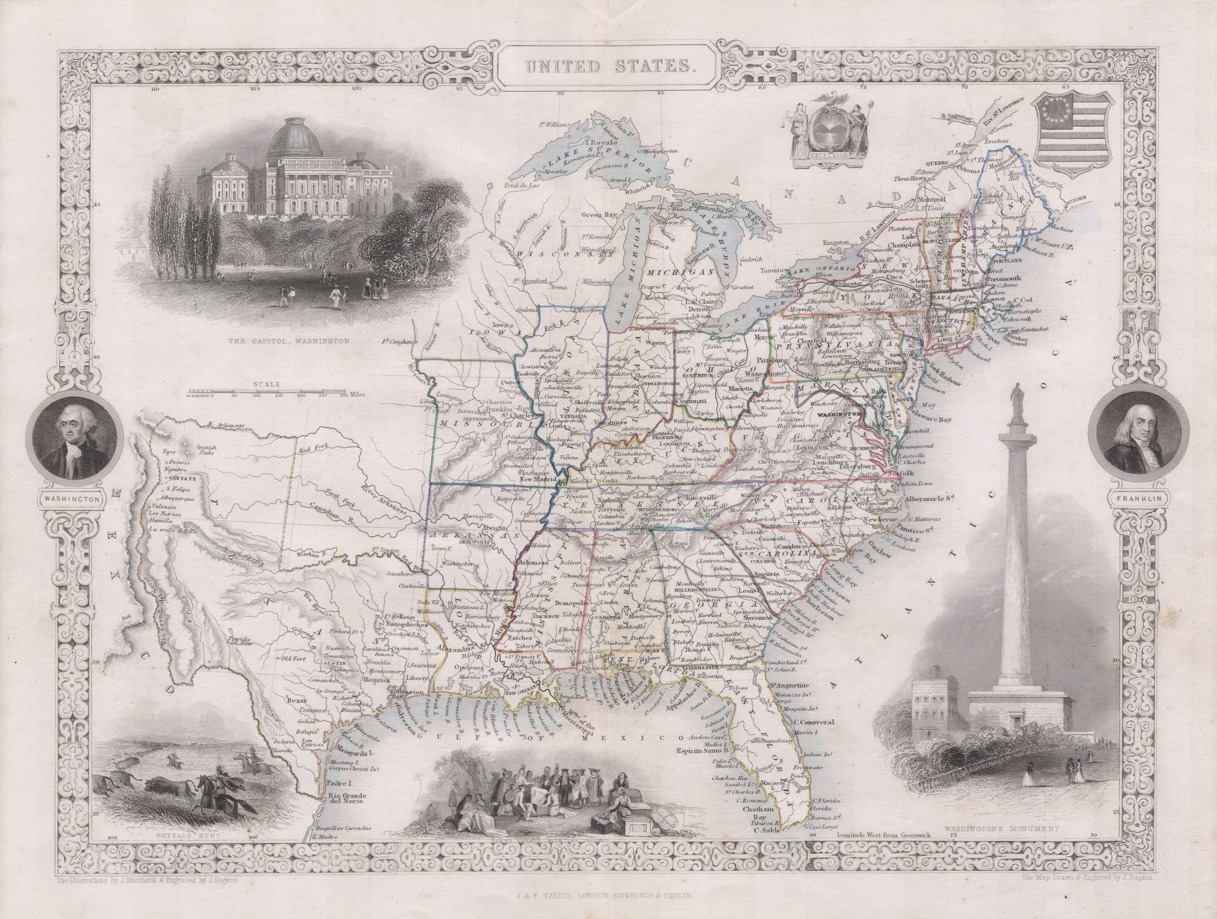
Tallis Map of the United States Texas at fullest extent Geographicus UnitedStatestallis. This is John Tallis highly desirable Map of the United States This is the earliest variation on this map that includes Texas as state Herein Texas is depicted at near its fullest extent including both Santa Fe and but excluding the Green