
Related Images


Download:
| Tiny | 90x128 | View | Download |
| Small | 180x256 | View | Download |
| Medium | 361x512 | View | Download |
| Large | 723x1024 | View | Download |
| Original | 3032x4290 | View | Download |
This image was acquired from
wikimedia. It was marked as Public Domain or CC0 and is free to use. To verify, go to the source and check the information there.
Looking for more info about this image?
Try a Google Reverse Image Search for it.
Try a Google Reverse Image Search for it.
Keywords from Image Description:
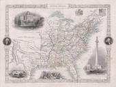
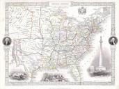
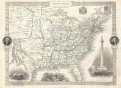
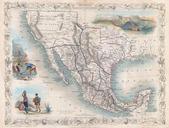
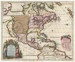
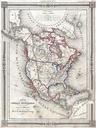
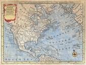
Tallis Map of North America Texas at fullest Geographicus NorthAmericatallis. This is John Tallis highly desirable and very rare Map of the North America Made shortly following the entry of Texas into the Union this map depicts an important point in American history Herein Texas is shown at near its fullest extent including