
Related Images


Download:
| Tiny | 171x128 | View | Download |
| Small | 343x256 | View | Download |
| Medium | 687x512 | View | Download |
| Large | 1375x1024 | View | Download |
| Original | 4000x2978 | View | Download |
This image was acquired from
wikimedia. It was marked as Public Domain or CC0 and is free to use. To verify, go to the source and check the information there.
Looking for more info about this image?
Try a Google Reverse Image Search for it.
Try a Google Reverse Image Search for it.
Keywords from Image Description:
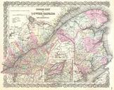
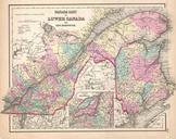
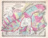
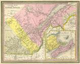
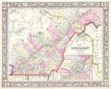
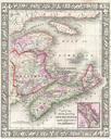
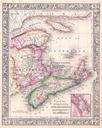
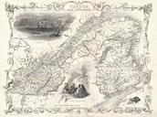
Tallis Map of East Canada or Quebec and New Brunswick Geographicus EastCanadatallis. This is John Tallis extremely attractive map of East Canada or what is now Quebec and New Brunswick Includes Montreal Quebec City and the St Lawrence River valley Features five stunning vignettes which include American Indian warriors and spectacular