
Related Images

Download:
| Tiny | 179x128 | View | Download |
| Small | 358x256 | View | Download |
| Medium | 716x512 | View | Download |
| Large | 1433x1024 | View | Download |
| Original | 5904x4216 | View | Download |
This image was acquired from
wikimedia. It was marked as Public Domain or CC0 and is free to use. To verify, go to the source and check the information there.
Looking for more info about this image?
Try a Google Reverse Image Search for it.
Try a Google Reverse Image Search for it.
Keywords from Image Description:
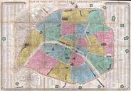
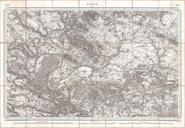
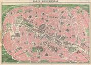
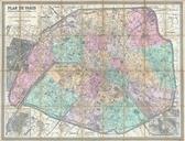
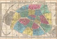
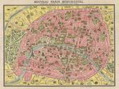
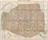
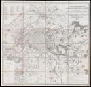
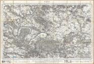
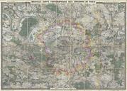
Clerot Pocket Map of Paris and Environs France Geographicus Parisclerot. Issued in by Victor Clerot this is one of the largest and most strikingly beautiful th century folding maps of Paris we have ever encountered Details the greater Paris vicinity from the Bois de Marechaux in the southwest Evesquemont in the northwest La Grange