Related Images


Download:
| Tiny | 134x128 | View | Download |
| Small | 268x256 | View | Download |
| Medium | 536x512 | View | Download |
| Large | 1072x1024 | View | Download |
| Original | 4003x3821 | View | Download |
This image was acquired from
wikimedia. It was marked as Public Domain or CC0 and is free to use. To verify, go to the source and check the information there.
Looking for more info about this image?
Try a Google Reverse Image Search for it.
Try a Google Reverse Image Search for it.
Keywords from Image Description:
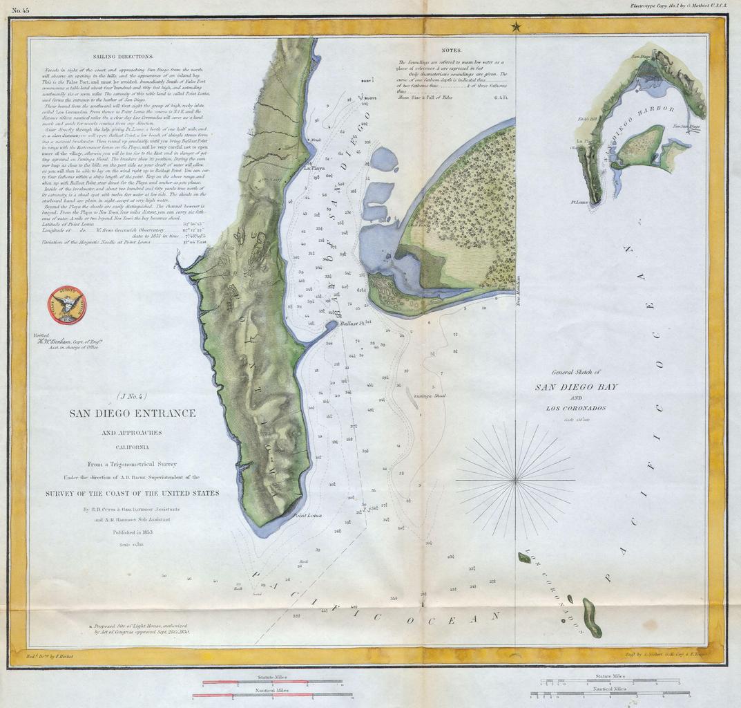
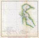
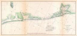
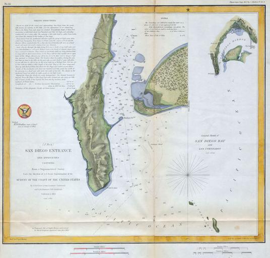
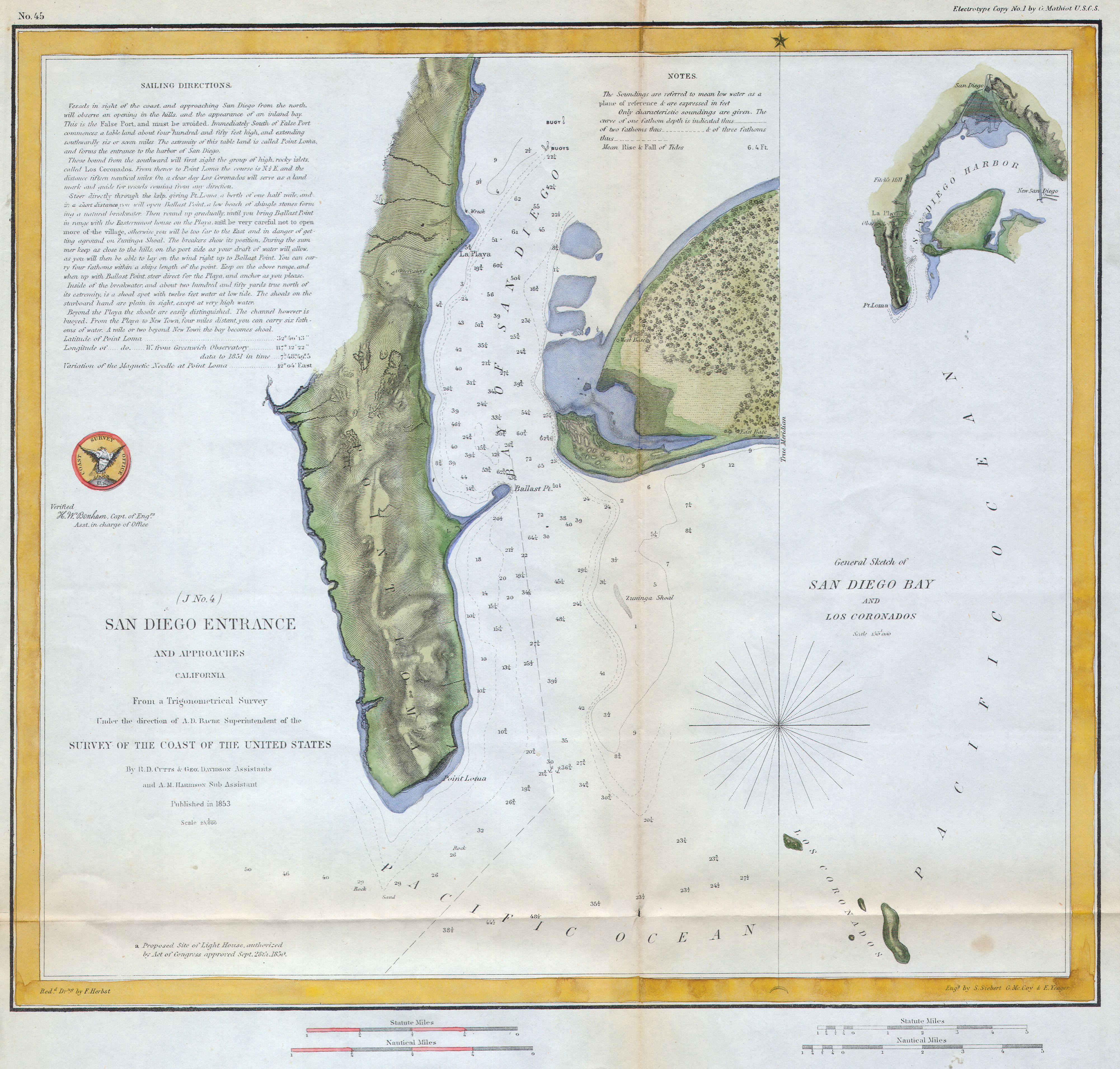
U.S.C.S. Map of San Diego Bay Los Coronados Geographicus SanDiegouscs. fine early Coast Survey chart or map of San Diego Bay Essentially two maps in one chart separated by compass rose The first map shows San Diego bay and Harbor just south of the city of San Diego The second right hand map depicts more general view of the area