
Related Images


Download:
| Tiny | 158x128 | View | Download |
| Small | 316x256 | View | Download |
| Medium | 632x512 | View | Download |
| Large | 1264x1024 | View | Download |
| Original | 3000x2430 | View | Download |
This image was acquired from
wikimedia. It was marked as Public Domain or CC0 and is free to use. To verify, go to the source and check the information there.
Looking for more info about this image?
Try a Google Reverse Image Search for it.
Try a Google Reverse Image Search for it.
Keywords from Image Description:
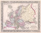
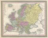
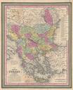
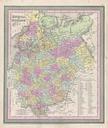
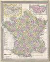
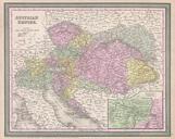
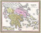
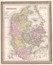
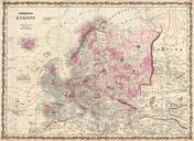
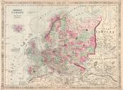
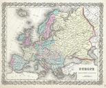
Mitchell Map of Europe Geographicus Europem. This hand colored map is copper plate engraving dating to by the legendary American Mapmaker Mitchell the younger It represents all of Europe including the British Isles Scandinavia and Russia Shows both political and geographical features Map is dated and copyrighted Size in object