
Related Images


Download:
| Tiny | 90x128 | View | Download |
| Small | 181x256 | View | Download |
| Medium | 363x512 | View | Download |
| Large | 726x1024 | View | Download |
| Original | 2127x3000 | View | Download |
This image was acquired from
wikimedia. It was marked as Public Domain or CC0 and is free to use. To verify, go to the source and check the information there.
Looking for more info about this image?
Try a Google Reverse Image Search for it.
Try a Google Reverse Image Search for it.
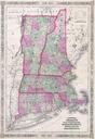
Keywords from Image Description:
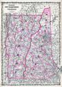
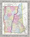
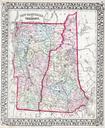
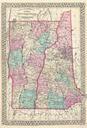
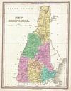
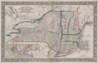
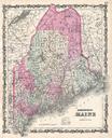
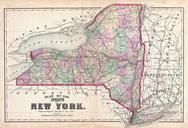
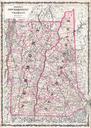
Johnson Map of Vermont and New Hampshire Geographicus VTNHj. This is beautifully hand colored map of Vermont and New Hampshire by Johnson Depicts the two states in stupendous detail with even individual buildings drawn in This early variation of the Johnson map appears only in the editions of the Atlas The plates for Vermont