Related Images


Download:
| Tiny | 179x128 | View | Download |
| Small | 358x256 | View | Download |
| Medium | 717x512 | View | Download |
| Large | 1435x1024 | View | Download |
| Original | 5000x3566 | View | Download |
This image was acquired from
wikimedia. It was marked as Public Domain or CC0 and is free to use. To verify, go to the source and check the information there.
Looking for more info about this image?
Try a Google Reverse Image Search for it.
Try a Google Reverse Image Search for it.
Keywords from Image Description:
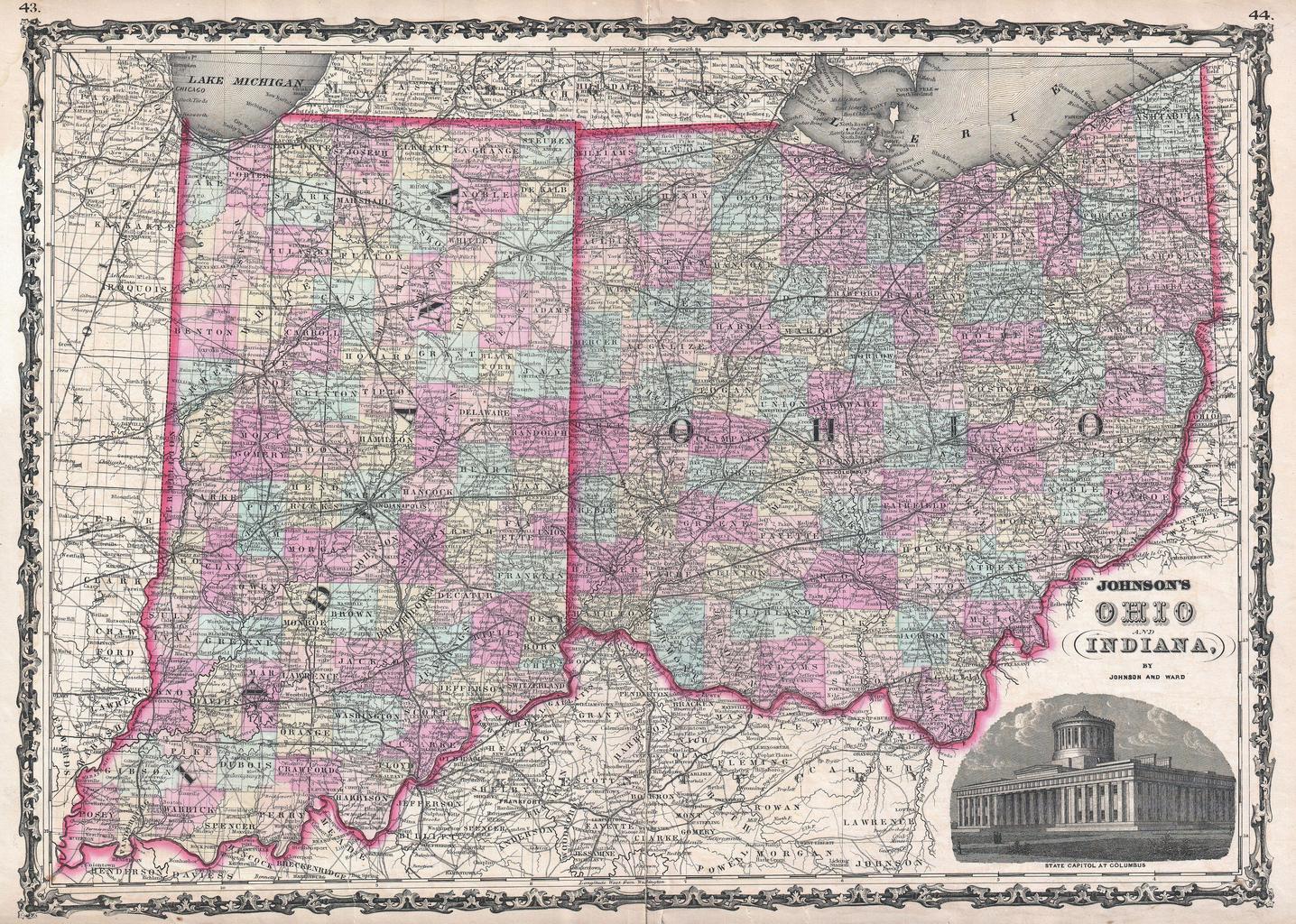
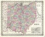
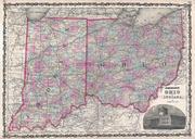
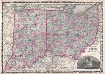
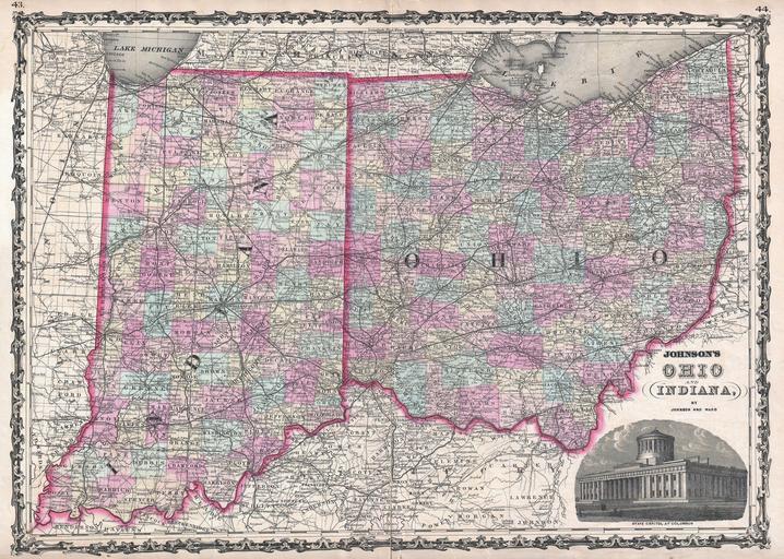
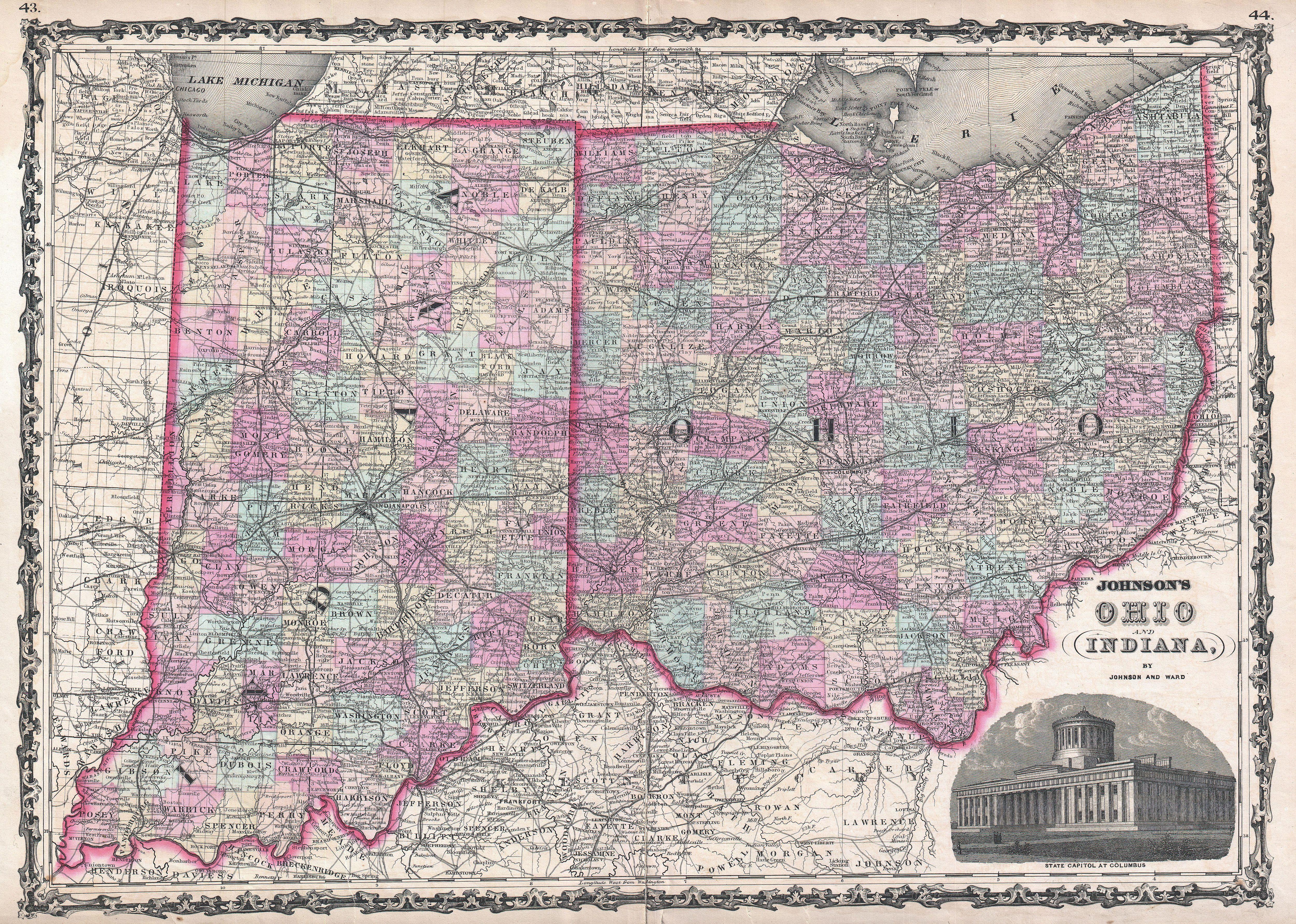
Johnson Map of Ohio and Indiana Geographicus OhioIndianajohnson. This is Johnson and Ward map of Ohio and Indiana Covers the states divided into counties with special attention to transportation especially roads railroads and canals There is an engraved view of the Ohio State Capitol Building at Columbus in the lower right quadrant