Related Images


Download:
| Tiny | 194x128 | View | Download |
| Small | 389x256 | View | Download |
| Medium | 779x512 | View | Download |
| Large | 1559x1024 | View | Download |
| Original | 4000x2627 | View | Download |
This image was acquired from
wikimedia. It was marked as Public Domain or CC0 and is free to use. To verify, go to the source and check the information there.
Looking for more info about this image?
Try a Google Reverse Image Search for it.
Try a Google Reverse Image Search for it.
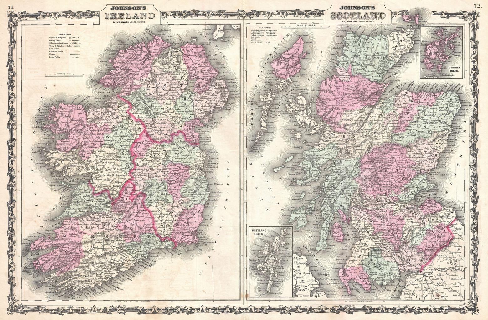
Keywords from Image Description:
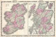
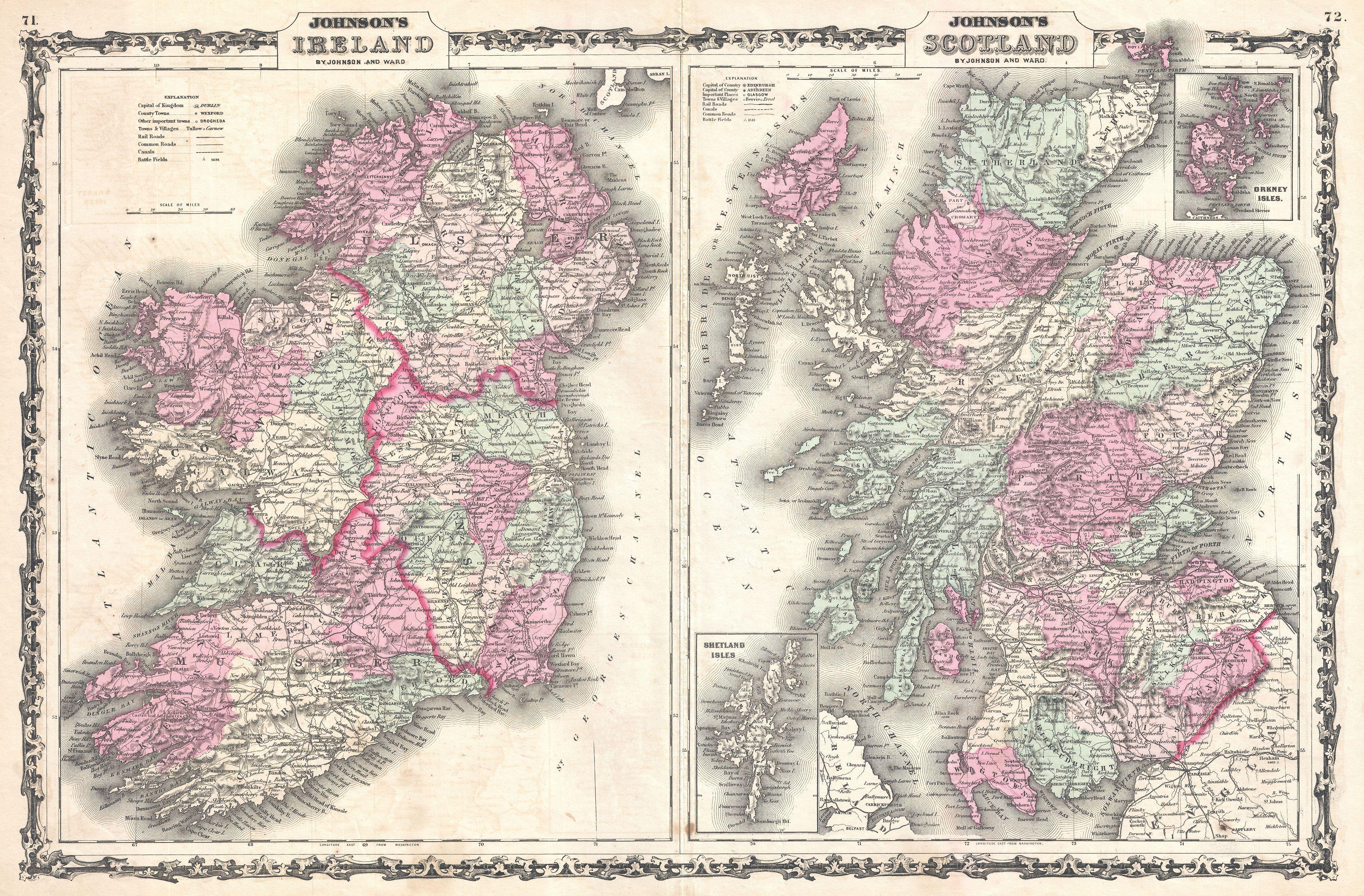
Johnson Map of Scotland and Ireland Geographicus SctIrejohnson. very beautiful example of Johnson's map of Scotland and Ireland This two part map details all of Scotland and Ireland with insets of the Shetland Islands and the Orkney Islands Both maps are color coded according to county and region Ireland is divided into its four