
Related Images


Download:
| Tiny | 103x128 | View | Download |
| Small | 206x256 | View | Download |
| Medium | 413x512 | View | Download |
| Large | 826x1024 | View | Download |
| Original | 3000x3715 | View | Download |
This image was acquired from
wikimedia. It was marked as Public Domain or CC0 and is free to use. To verify, go to the source and check the information there.
Looking for more info about this image?
Try a Google Reverse Image Search for it.
Try a Google Reverse Image Search for it.
Keywords from Image Description:
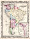
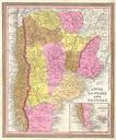
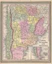
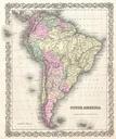
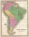
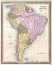
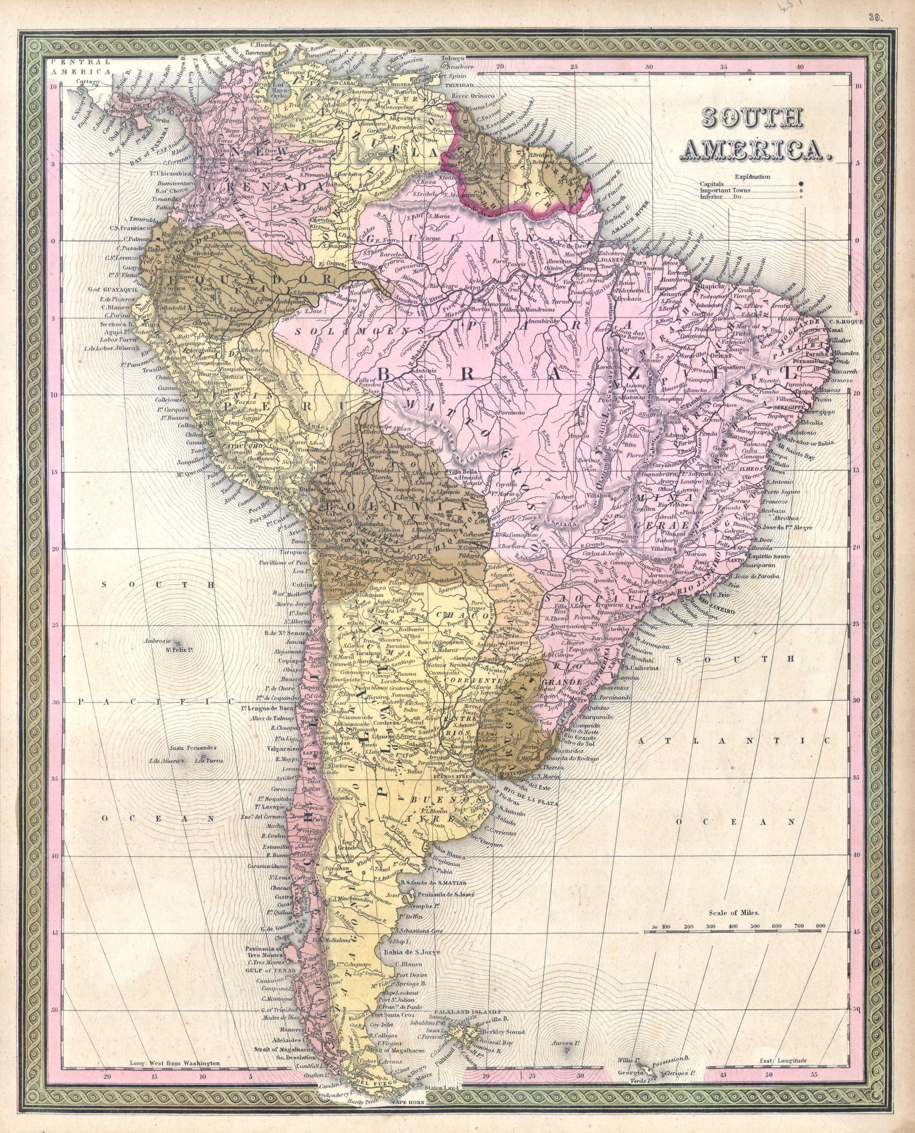
Mitchell Map of South America Geographicus SouthAmericamitchell. This is an attractive hand colored map of South America by the important American map publisher Mitchell the elder Depicts the whole of South America inclusive of Panama and the Falkland Islands Ecuador is depicted extending well into central South America along