
Related Images


Download:
| Tiny | 175x128 | View | Download |
| Small | 350x256 | View | Download |
| Medium | 701x512 | View | Download |
| Large | 1403x1024 | View | Download |
| Original | 4000x2919 | View | Download |
This image was acquired from
wikimedia. It was marked as Public Domain or CC0 and is free to use. To verify, go to the source and check the information there.
Looking for more info about this image?
Try a Google Reverse Image Search for it.
Try a Google Reverse Image Search for it.
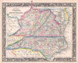
Keywords from Image Description:
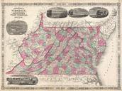
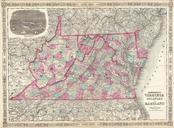
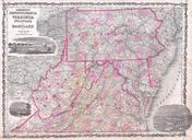
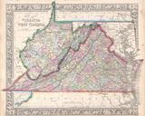
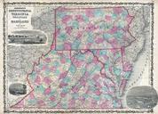
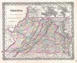
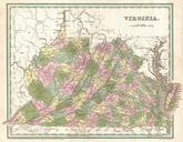
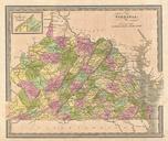
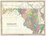
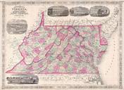
Johnson's Map of Virginia Delaware Maryland and West Virginia Geographicus VAWVj. This is beautifully hand colored lithograph map of the Virginia Delaware Maryland and West Virginia This important map appeared shortly after the close of the American Civil war This edition of Johnson map is decorated with numerous engravings depicting