
Related Images


Download:
| Tiny | 155x128 | View | Download |
| Small | 310x256 | View | Download |
| Medium | 621x512 | View | Download |
| Large | 1242x1024 | View | Download |
| Original | 4369x3601 | View | Download |
This image was acquired from
wikimedia. It was marked as Public Domain or CC0 and is free to use. To verify, go to the source and check the information there.
Looking for more info about this image?
Try a Google Reverse Image Search for it.
Try a Google Reverse Image Search for it.
Keywords from Image Description:
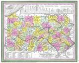
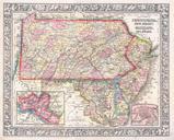
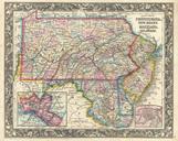
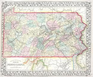
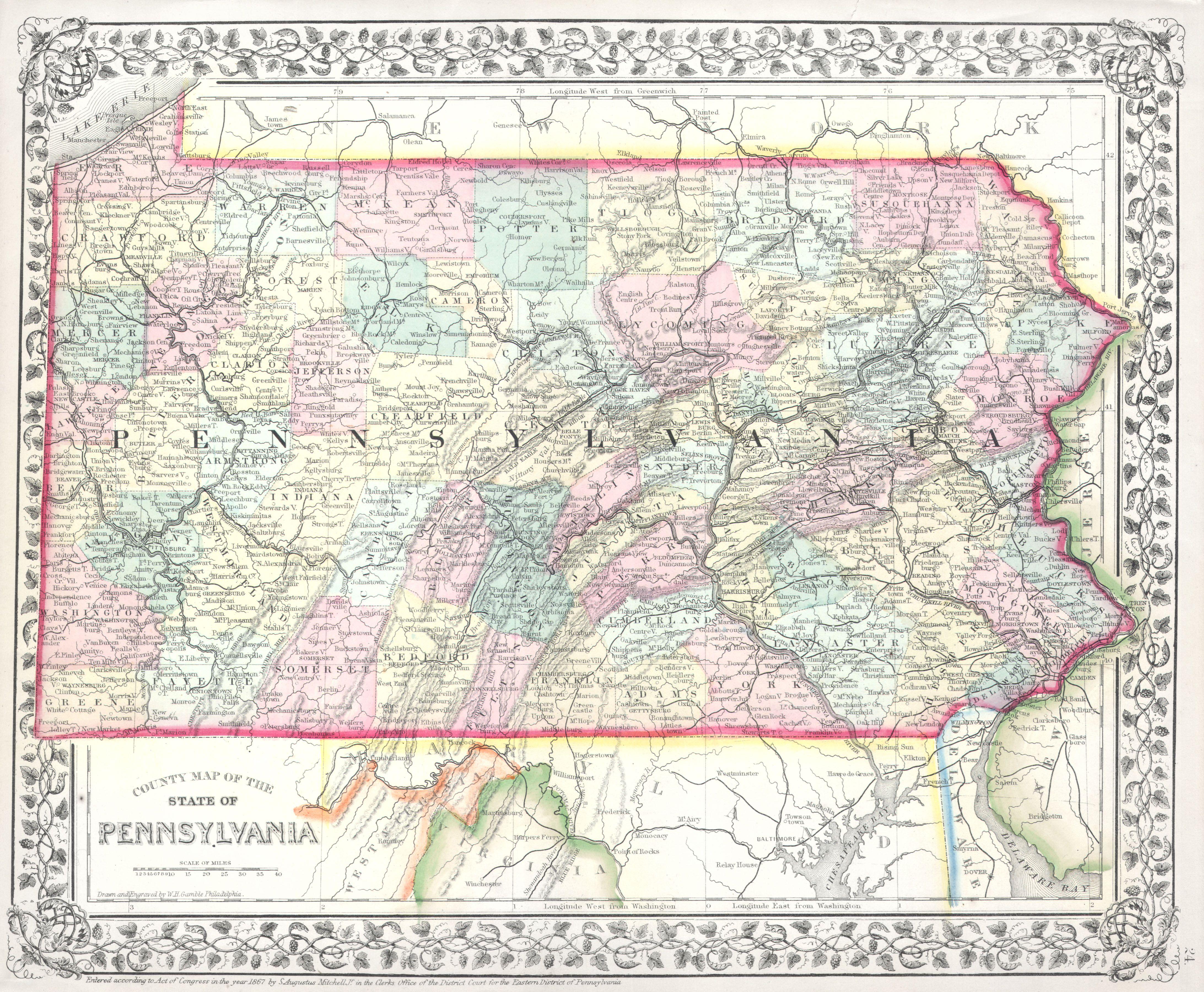
Mitchell Map of Pennsylvania Geographicus PAmitchell. This is hand colored map of the state of Pennsylvania by American map publisher Mitchell the younger The state is shown in considerable detail with special attention being paid to county divisions cities and railroads Map is dated and copyrighted Size in object history