Download:
| Tiny | 95x128 | View | Download |
| Small | 190x256 | View | Download |
| Medium | 381x512 | View | Download |
| Large | 763x1024 | View | Download |
| Original | 4000x5368 | View | Download |
This image was acquired from
wikimedia. It was marked as Public Domain or CC0 and is free to use. To verify, go to the source and check the information there.
Looking for more info about this image?
Try a Google Reverse Image Search for it.
Try a Google Reverse Image Search for it.
Keywords from Image Description:
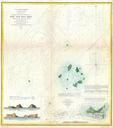
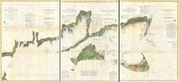
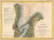
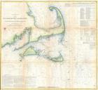
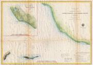
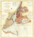
U.S.C.S. Map or Chart of Martha's Vineyard or Muskeget Channel Geographicus MuskegetChanneluscs. One of the better mid th century large format maps of Martha Vineyard This rare map depicts most of the island of Marthas Vineyard though does cut out its southwestern portion Towns villages farms and roads are all beautifully rendered


