
Related Images


Download:
| Tiny | 278x128 | View | Download |
| Small | 557x256 | View | Download |
| Medium | 1115x512 | View | Download |
| Large | 2230x1024 | View | Download |
| Original | 10000x4591 | View | Download |
This image was acquired from
wikimedia. It was marked as Public Domain or CC0 and is free to use. To verify, go to the source and check the information there.
Looking for more info about this image?
Try a Google Reverse Image Search for it.
Try a Google Reverse Image Search for it.
Keywords from Image Description:
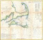
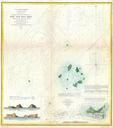
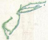
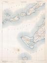
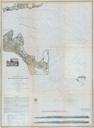
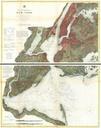
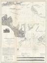
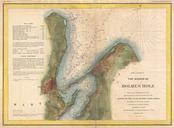
U.S. Coast Survey Map of Block Island Buzzard Bay Nantucket and Marthas Vineyard Geographicus MarthasVineyardNantucketuscs. scarce and extraordinary set of three large format nautical charts covering from Block Island and Buzzard Bay eastward to include all of Martha Vineyard Marthas Vineyard and Nantucket Consists of three separate