
Related Images
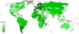


Download:
| Tiny | 177x128 | View | Download |
| Small | 354x256 | View | Download |
| Medium | 709x512 | View | Download |
| Large | 1418x1024 | View | Download |
| Original | 2750x1985 | View | Download |
This image was acquired from
wikimedia. It was marked as Public Domain or CC0 and is free to use. To verify, go to the source and check the information there.
Looking for more info about this image?
Try a Google Reverse Image Search for it.
Try a Google Reverse Image Search for it.
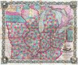
Keywords from Image Description:
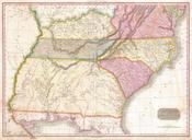
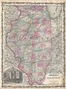
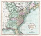
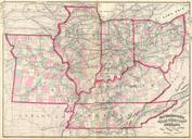
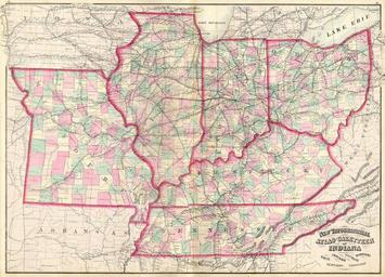
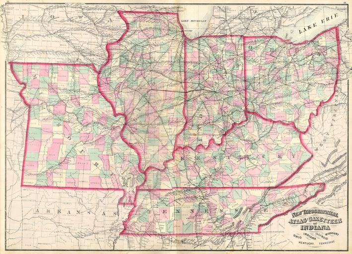
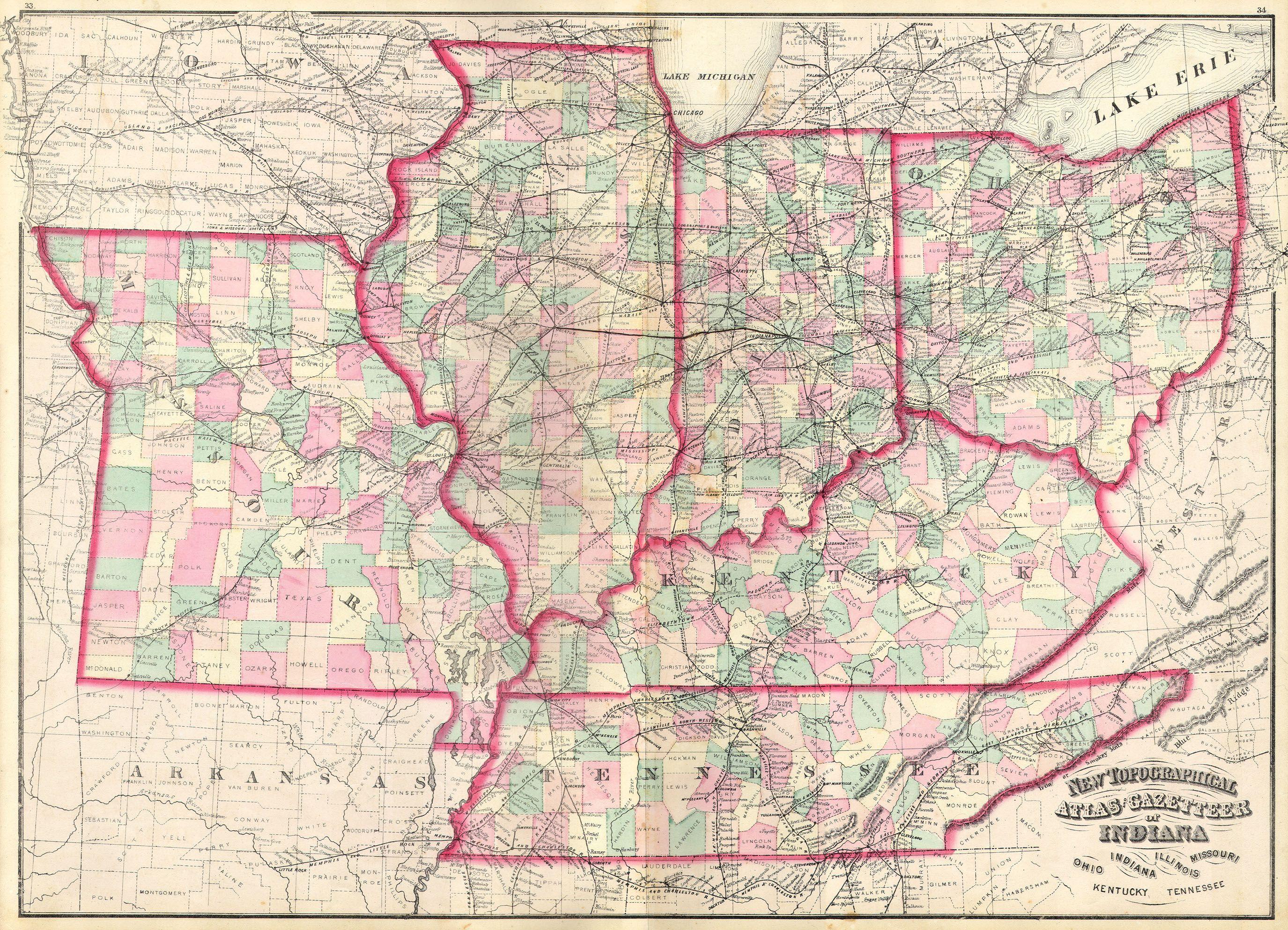
Asher Adams Map of the Midwest Ohio Indiana Illinois Missouri Kentucky Geographicus INILOHMOKTTNaa. This is an Asher Adams hand colored map of the Midwest and Central states of Ohio Indiana Illinois Missouri Kentucky and Tennessee Size in object history credit line accession number INILOHMOKTTNaa Geographicussource PDart