Related Images


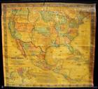

Download:
| Tiny | 155x128 | View | Download |
| Small | 310x256 | View | Download |
| Medium | 621x512 | View | Download |
| Large | 1242x1024 | View | Download |
| Original | 6000x4945 | View | Download |
This image was acquired from
wikimedia. It was marked as Public Domain or CC0 and is free to use. To verify, go to the source and check the information there.
Looking for more info about this image?
Try a Google Reverse Image Search for it.
Try a Google Reverse Image Search for it.
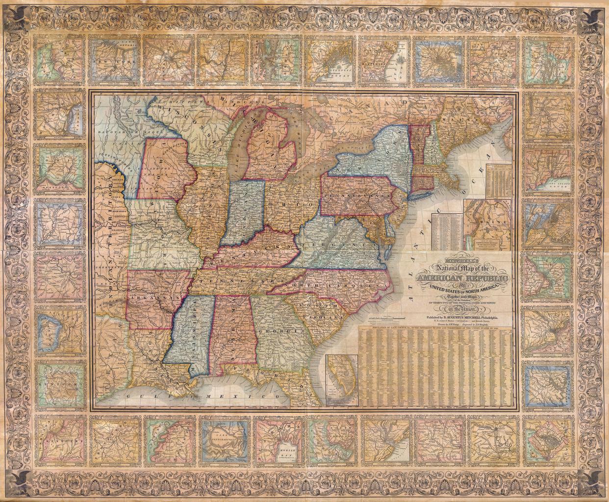
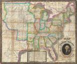
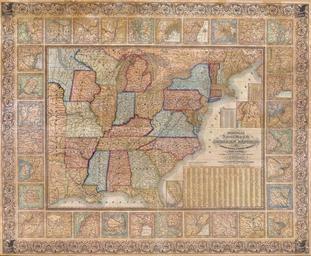
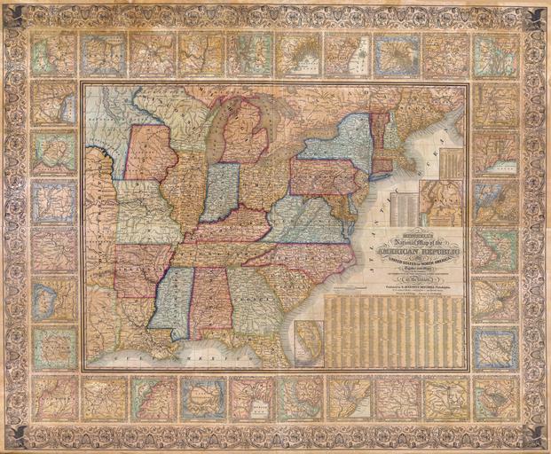
Keywords from Image Description:
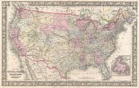
Mitchell Wall Map of the United States partial Republic of Texas Geographicus USAwallmitchell. The Mitchell firm published this map both in wall and folding pocket format from to It is considered highly important work of mid th century American cartography Through its multiple issues historians can follow the rapidly changing